Transport Functions
Road
Multimodal
Hub Profile
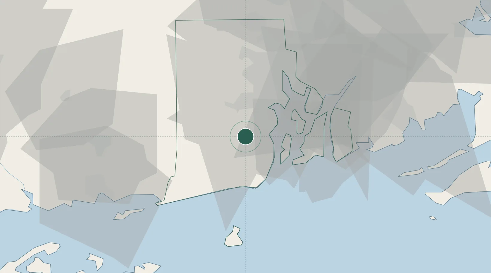
Place type
Populated place
Region
Rhode Island
Population
6,426
Time zone
America/New_York
Elevation
81 m
Location
Nearby Logistics Neighbours
Cities
- 1Slocum6 km
- 2West Kingston9 km
- 3South Kingstown15 km
- 4Carolina17 km
- 5Fiskeville19 km
Ports
- 1Quonset Point11 km
- 2Davisville Depot12 km
- 3Newport18 km
- 4Bristol25 km
- 5Tiverton27 km
Airports
Trade Zones
DatabookThe Record of Consolidated Knowledge
United States beyond logistics?