Transport Functions
Multimodal
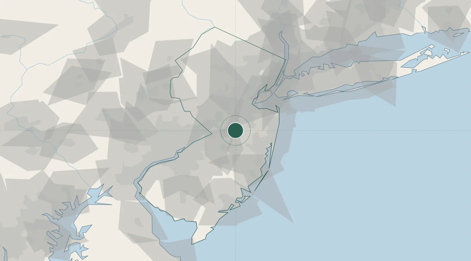
Hub Profile
Place type
Populated place
Region
New Jersey
Time zone
America/New_York
Elevation
57 m
Location
Nearby Logistics Neighbours
Cities
- 1Bairdsville9 km
- 2Cream Ridge9 km
- 3Monroe Township15 km
- 4Jamesburg17 km
- 5Hamilton Square17 km
Ports
- 1Trenton26 km
- 2Sayreville31 km
- 3Bristol34 km
- 4South Amboy36 km
- 5Burlington36 km
Airports
Trade Zones
DatabookThe Record of Consolidated Knowledge
United States beyond logistics?