Transport Functions
Road
Multimodal
Hub Profile
Place type
Populated place
Region
New Jersey
Time zone
America/New_York
Elevation
54 m
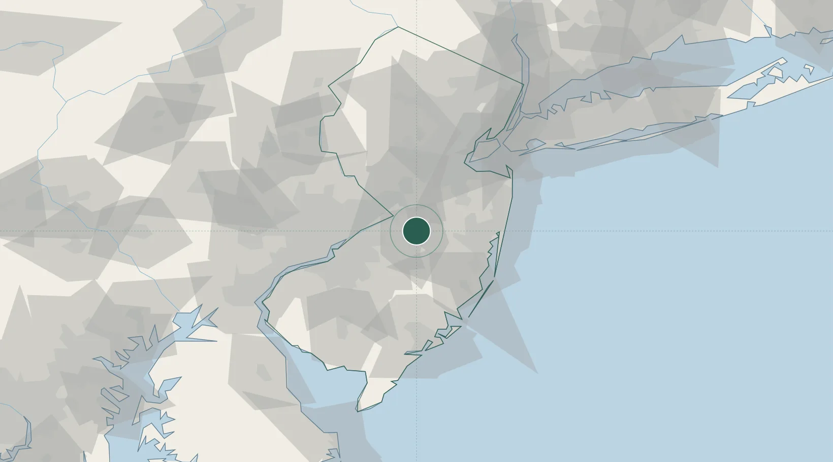
Location
Nearby Logistics Neighbours
Cities
- 1Cream Ridge9 km
- 2Jobstown9 km
- 3Browns Mills11 km
- 4Columbus11 km
- 5Robinsville18 km
Ports
- 1Trenton22 km
- 2Bristol23 km
- 3Burlington24 km
- 4Sayreville48 km
- 5Philadelphia49 km
Airports
Trade Zones
DatabookThe Record of Consolidated Knowledge
United States beyond logistics?