Transport Functions
Rail
Road
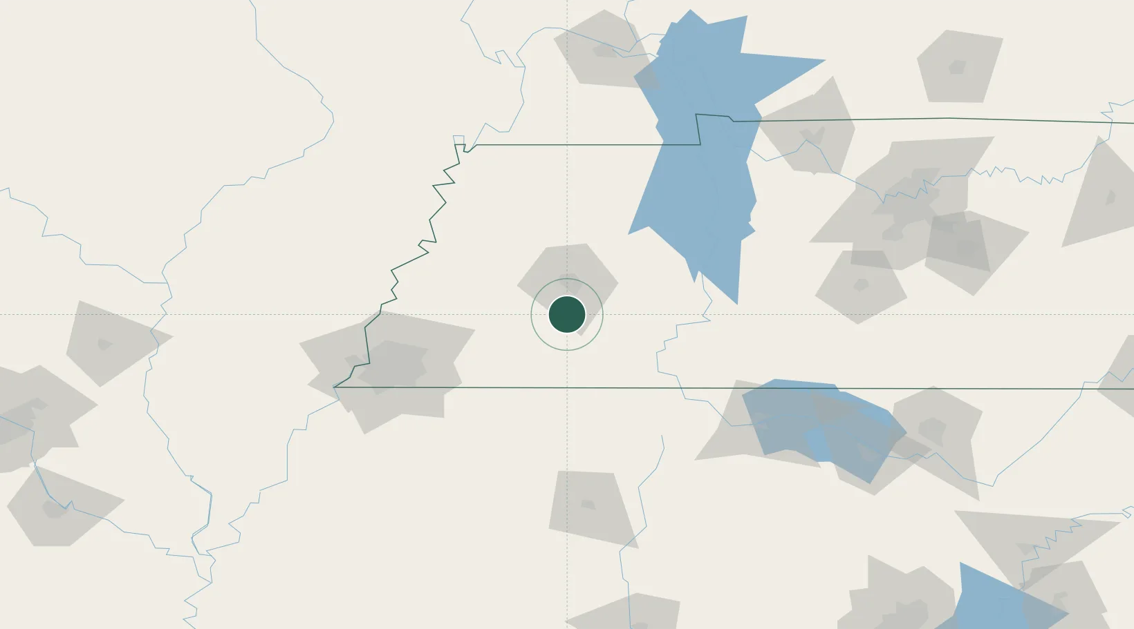
Hub Profile
Place type
Populated place
Region
Tennessee
Population
173
Time zone
America/Chicago
Elevation
142 m
Location
Nearby Logistics Neighbours
Cities
- 1Bemis14 km
- 2Luray31 km
- 3Bells34 km
- 4Huron35 km
- 5Pocahontas45 km
Ports
- 1Port Of Memphis126 km
- 2Mobile535 km
- 3Biloxi563 km
- 4Gulfport568 km
- 5Pascagoula568 km
Airports
Trade Zones
- 1FTZ No. 283 West Tennessee80 km
- 2FTZ No. 223 Memphis118 km
- 3FTZ No. 262 Southaven120 km
- 4FTZ No. 273 West Memphis125 km
- 5FTZ No. 077 Memphis131 km
DatabookThe Record of Consolidated Knowledge
United States beyond logistics?