Transport Functions
Rail
Road
Fixed Transport
Hub Profile
Place type
Populated place
Region
Western Province
Time zone
Asia/Colombo
Elevation
67 m
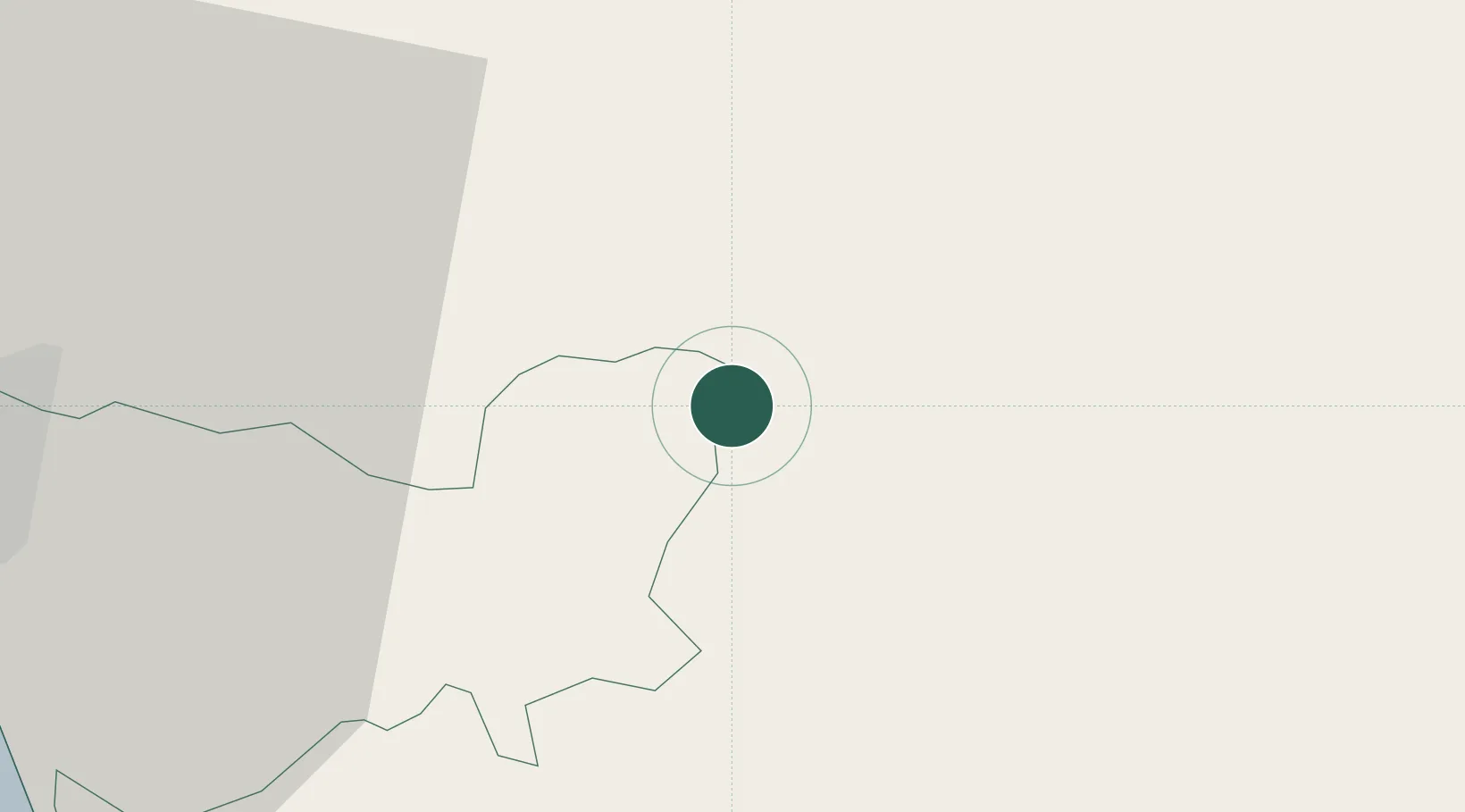
Location
Nearby Logistics Neighbours
Cities
- 1Walpola9 km
- 2Weliweriya24 km
- 3Kalagedihena26 km
- 4Makola30 km
- 5Pannipitiya32 km
Ports
- 1Colombo41 km
- 2Galle Harbor102 km
- 3Hambantota137 km
- 4Trincomalee Harbor209 km
- 5Tuticorin305 km
Airports
DatabookThe Record of Consolidated Knowledge
Sri Lanka beyond logistics?