UN/LOCODE hub · United States
USHGW
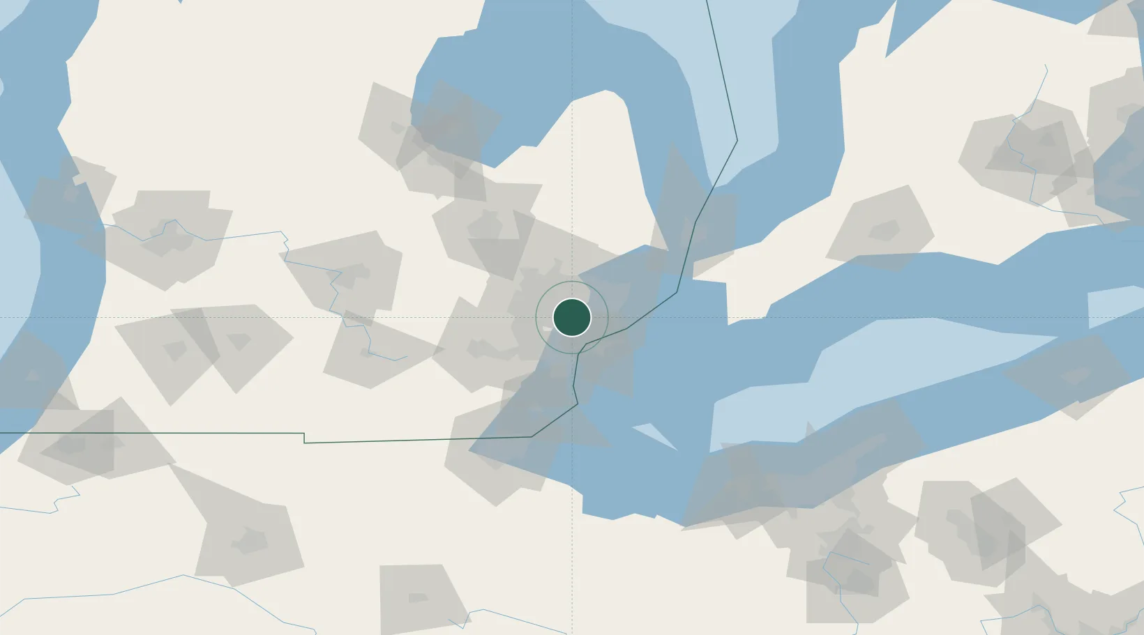
Huntington Woods
42.4667°, -83.1667°
6,340
Population
3
Transport functions
Transport Functions
Port
Road
Multimodal
Hub Profile
Place type
Populated place
Region
Michigan
Population
6,340
Time zone
America/Detroit
Elevation
202 m
Location
Nearby Logistics Neighbours
Cities
- 1Berkley4 km
- 2Hazel Park6 km
- 3Clawson8 km
- 4Beverly Hills9 km
- 5Center Line12 km
Ports
- 1Detroit18 km
- 2Windsor20 km
- 3Wyandotte30 km
- 4Trenton37 km
- 5Amherstburg41 km
Airports
Trade Zones
DatabookThe Record of Consolidated Knowledge
United States beyond logistics?