UN/LOCODE hub · United States
USPTJ
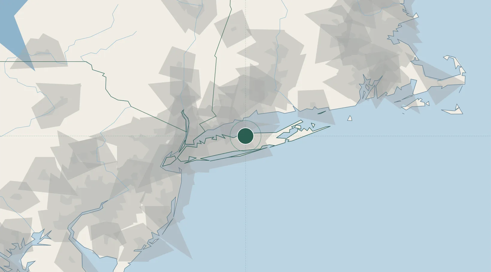
Port Jefferson
40.9333°, -73.0667°
7,842
Population
2
Transport functions
Transport Functions
Port
Road
Hub Profile
Place type
Populated place
Region
New York
Population
7,842
Time zone
America/New_York
Elevation
1 m
Location
Nearby Logistics Neighbours
Cities
- 1East Setauket3 km
- 2Middle Island13 km
- 3Farmingville14 km
- 4Holbrook15 km
- 5Kings Park18 km
Ports
- 1Patchogue21 km
- 2Bridgeport28 km
- 3Southport29 km
- 4Norwalk35 km
- 5New Haven36 km
Airports
Trade Zones
- 1FTZ No. 052 Suffolk County11 km
- 2FTZ No. 076 Bridgeport29 km
- 3FTZ No. 162 New Haven43 km
- 4FTZ No. 001 New York City83 km
- 5FTZ No. 208 New London94 km
DatabookThe Record of Consolidated Knowledge
United States beyond logistics?