UN/LOCODE hub · United States
USJEC
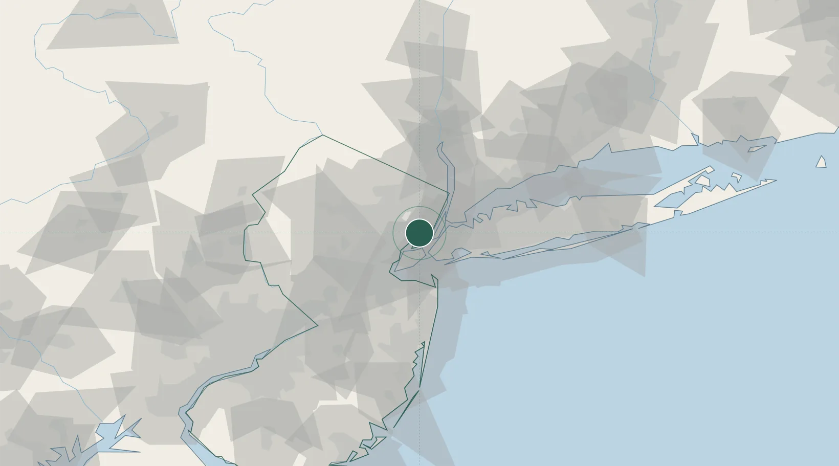
Jersey City
40.7418°, -74.0936°
264,290
Population
2
Transport functions
Transport Functions
Port
Road
Hub Profile
Place type
Provincial seat
Region
New Jersey
Population
264,290
Time zone
America/New_York
Elevation
9 m
Logistics facilities
5
Location
Nearby Logistics Neighbours
Cities
- 1South Kearny2 km
- 2Croxton4 km
- 3Arlington4 km
- 4New York5 km
- 5Port Newark8 km
Ports
- 1Bayonne7 km
- 2Hoboken7 km
- 3Newark7 km
- 4Weehawken7 km
- 5New York City8 km
Airports
Trade Zones
DatabookThe Record of Consolidated Knowledge
United States beyond logistics?