Large airport · Congo - Kinshasa
Bangoka International AirportFZIC
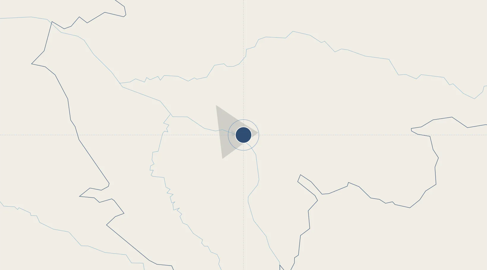
0.4816°, 25.3380°
11,483 ft
Longest runway
1
Runways
1,417 ft
Elevation
Runway & Layout

Radio Frequencies
TWR
121.1 MHz
APP
125.9 MHz
Navaids
KGI VOR-DME Bangoka 114.50 MHz
KIS NDB Bangoka 315 kHz
Runways · 1
| Runway | Dimensions | Surface | True heading | Lit |
|---|---|---|---|---|
| 13/31 | 11,483 × 148ft | Asphalt | 125° | ✓ |
Airport Specifications
IATA code
FKI
ICAO code
FZIC
Airport class
Large airport
Scheduled service
Yes
Runway surface
Asphalt
Served city
Kisangani
Location
Nearby Logistics Neighbours
Airports
- 1Buta Zega Airport267 km
- 2Matari Airport361 km
- 3Kindu Airport384 km
- 4Lisala Airport467 km
- 5Goma International Airport495 km
Ports
- 1Matadi1494 km
- 2Boma1535 km
- 3Futila Terminal1603 km
- 4Cabinda1605 km
- 5Banana1608 km
Trade Zones
- 1Nyabihu Industrial Park519 km
- 2Kasese Industrial Park527 km
- 3Rusizi Industrial Park534 km
- 4Kabale Industrial Park551 km
- 5Bushenyi Industrial Park552 km
DatabookThe Record of Consolidated Knowledge
Congo - Kinshasa beyond logistics?