Medium airport · Congo - Kinshasa
Kindu AirportFZOA
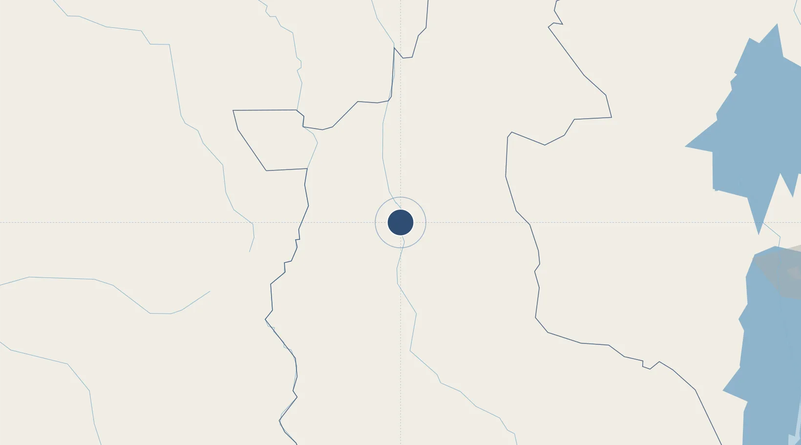
-2.9192°, 25.9154°
7,218 ft
Longest runway
1
Runways
1,630 ft
Elevation
Runway & Layout

Radio Frequencies
TWR
118.1 MHz
Navaids
KIN VOR Kindu 115.10 MHz
KIN NDB Kindu 285 kHz
KN NDB Kindu 270 kHz
Runways · 1
| Runway | Dimensions | Surface | True heading | Lit |
|---|---|---|---|---|
| 18/36 | 7,218 × 148ft | Asphalt | 176° | ✓ |
Airport Specifications
IATA code
KND
ICAO code
FZOA
Airport class
Medium airport
Scheduled service
Yes
Runway surface
Asphalt
Served city
Kindu
Location
Nearby Logistics Neighbours
Airports
- 1Tshumbe Airport212 km
- 2Bukavu Kavumu Airport329 km
- 3Kamembe Airport336 km
- 4Bujumbura Melchior Ndadaye International Airport381 km
- 5Bangoka International Airport384 km
Ports
- 1Matadi1419 km
- 2Boma1463 km
- 3Porto Do Ambriz1520 km
- 4Banana1538 km
- 5Luanda1546 km
Trade Zones
- 1Rusizi Industrial Park346 km
- 2Warubonda Special Economic Zone373 km
- 3Huye Industrial Park420 km
- 4Nyabihu Industrial Park425 km
- 5Muhanga Industrial Park436 km
DatabookThe Record of Consolidated Knowledge
Congo - Kinshasa beyond logistics?