Runway & Layout

Navaids
BDE NDB Boende 388 kHz
Airport Specifications
IATA code
BNB
ICAO code
FZGN
Airport class
Small airport
Scheduled service
Yes
Served city
Boende
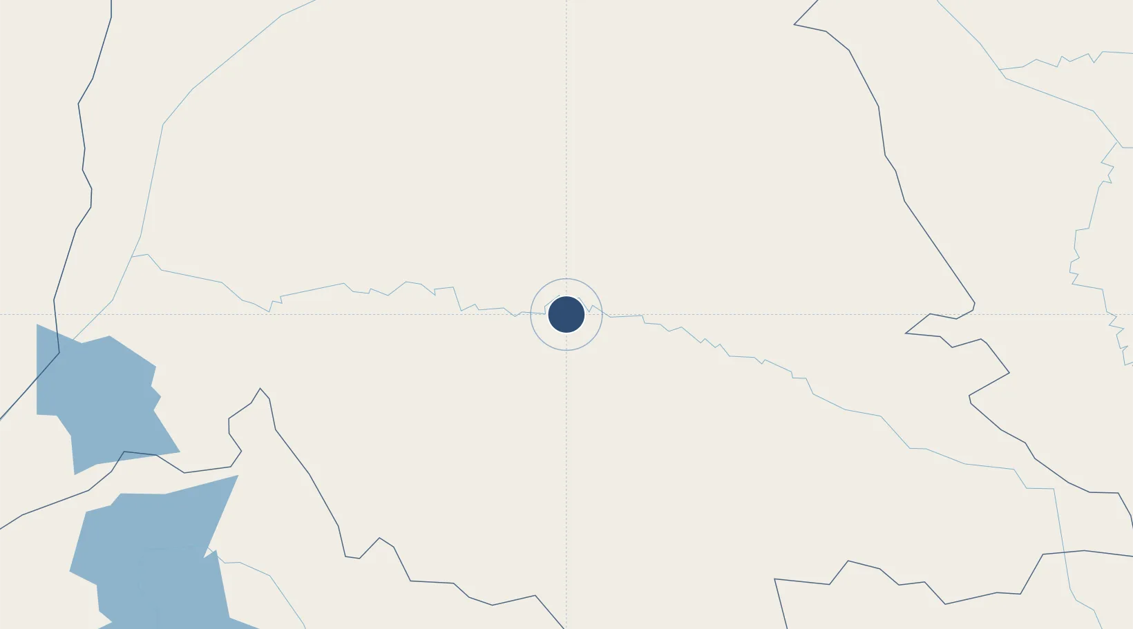
Location
Nearby Logistics Neighbours
Airports
- 1Lisala Airport282 km
- 2Mbandaka Airport291 km
- 3Inongo Airport343 km
- 4Gemena Airport411 km
- 5Ilebo Airport451 km
Ports
- 1Matadi1029 km
- 2Boma1067 km
- 3Pointe Noire1123 km
- 4Djeno Terminal1124 km
- 5Futila Terminal1124 km
Trade Zones
DatabookThe Record of Consolidated Knowledge
Congo - Kinshasa beyond logistics?