Medium airport · Ethiopia
Gondar AirportHAGN
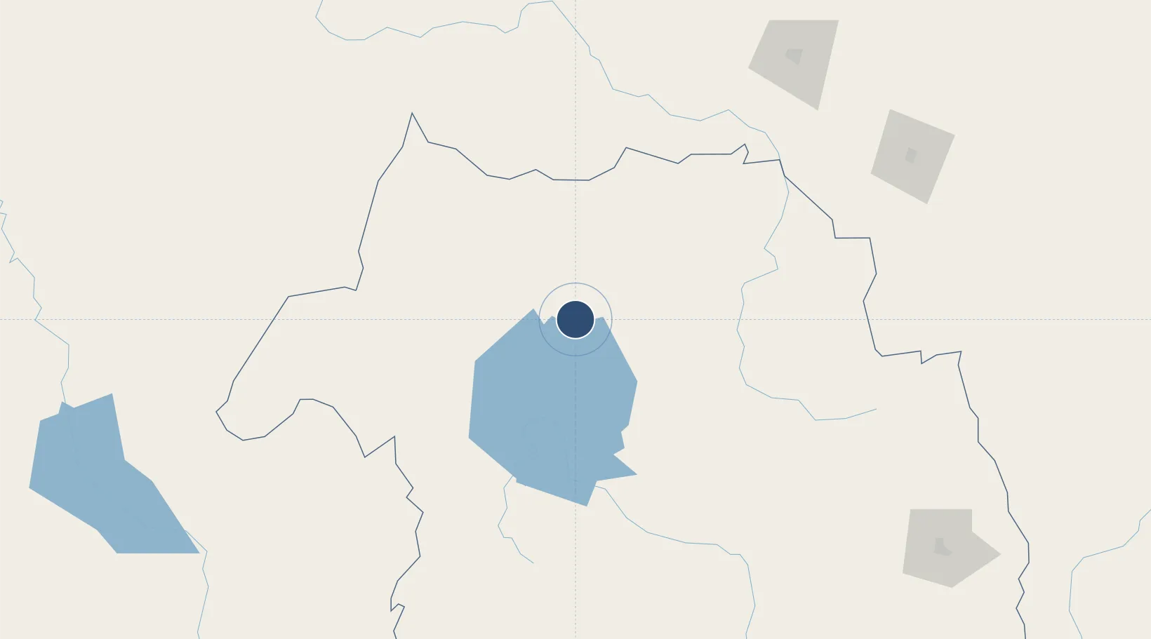
12.5199°, 37.4340°
9,072 ft
Longest runway
1
Runways
6,449 ft
Elevation
Runway & Layout

Radio Frequencies
GND
121.9 MHz
Runways · 1
| Runway | Dimensions | Surface | True heading | Lit |
|---|---|---|---|---|
| 17/35 | 9,072 × 145ft | Asphalt | 170° | ✓ |
Airport Specifications
IATA code
GDQ
ICAO code
HAGN
Airport class
Medium airport
Scheduled service
Yes
Runway surface
Asphalt
Served city
Azezo
Location
Nearby Logistics Neighbours
Airports
- 1Bahir Dar Airport102 km
- 2Shire Inda Selassie Airport195 km
- 3Axum Airport232 km
- 4Mekele Alula Aba Nega Airport251 km
- 5Kombolcha Airport295 km
Cities
- 1Asmara352 km
- 2Massawa (Mitsiwa)406 km
- 3Dubti406 km
- 4Mojo473 km
- 5Mojo Dry Port477 km
Ports
- 1Mitsiwa Harbor408 km
- 2Assab579 km
- 3Doraleh623 km
- 4Djibouti628 km
- 5Ras Isa Marine Terminal629 km
Trade Zones
- 1Bahir Dar Industrial Park108 km
- 2Gallabat Free Zone148 km
- 3Mekelle Industrial Park240 km
- 4DBL Industrial Park240 km
- 5Vogue Industrial Park254 km
DatabookThe Record of Consolidated Knowledge
Ethiopia beyond logistics?