Transport Functions
Multimodal
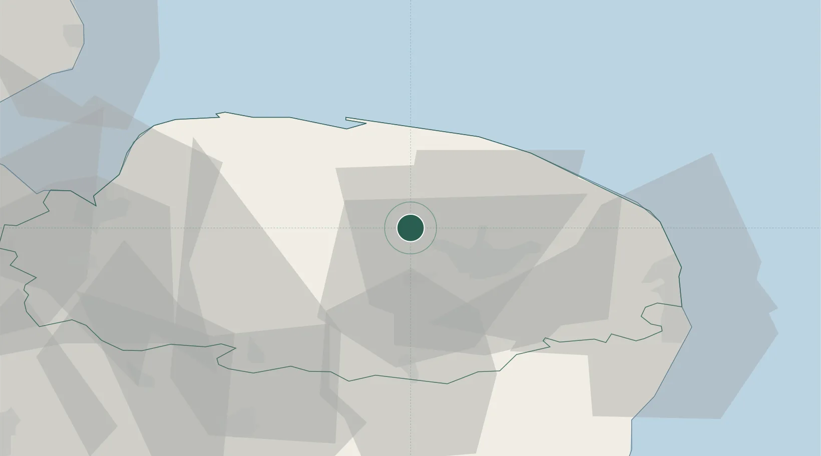
Hub Profile
Place type
Populated place
Region
England
Population
496
Time zone
Europe/London
Elevation
18 m
Location
Nearby Logistics Neighbours
Ports
- 1Great Yarmouth43 km
- 2King's Lynn48 km
- 3Lowestoft50 km
- 4Wisbech65 km
- 5Ipswich74 km
Airports
- 1Norwich Airport12 km
- 2RAF Marham39 km
- 3RAF Honington48 km
- 4RAF Lakenheath51 km
- 5RAF Mildenhall58 km
Trade Zones
DatabookThe Record of Consolidated Knowledge
United Kingdom beyond logistics?