UN/LOCODE hub · United Kingdom
GBFMY
Frimley
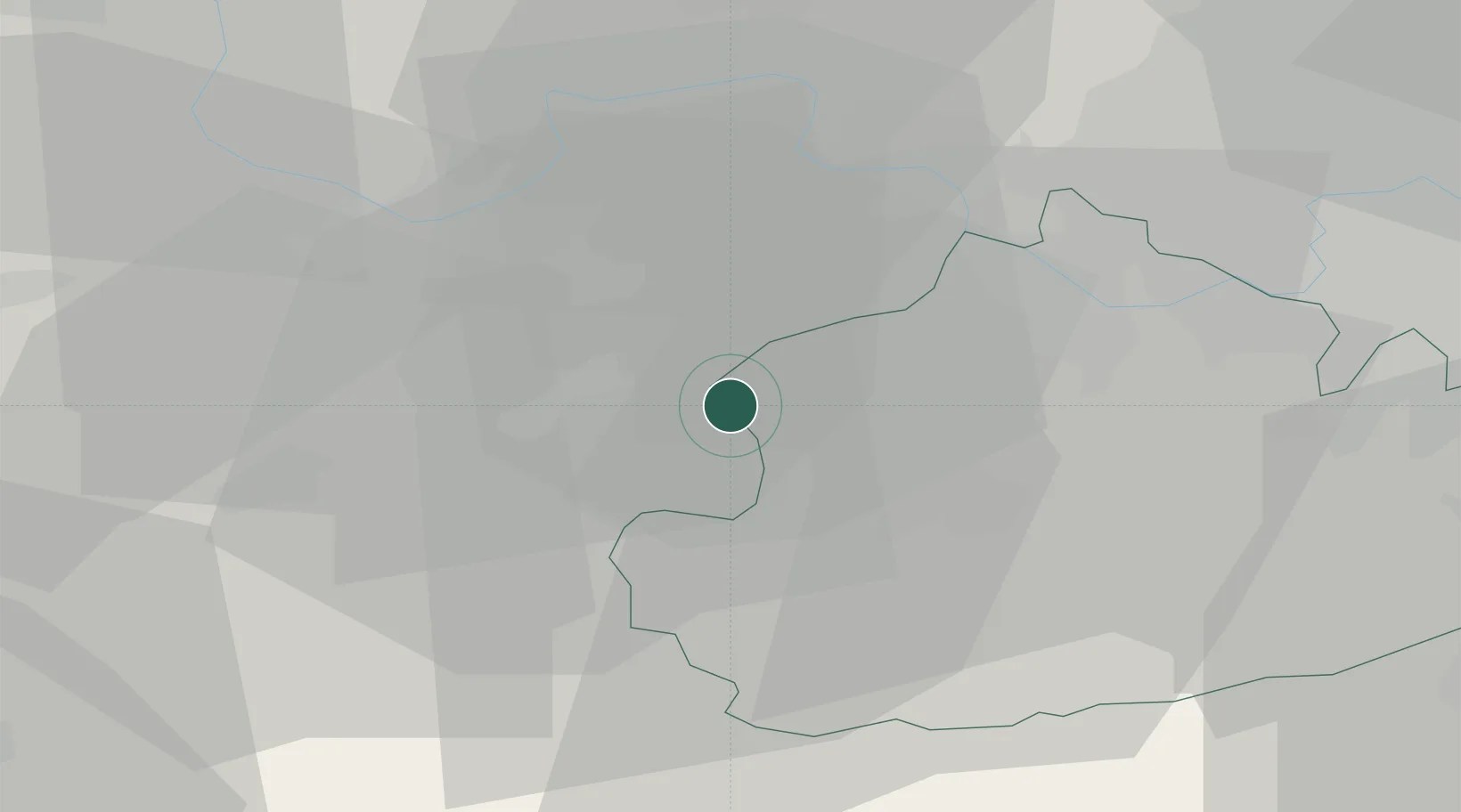
51.3167°, -0.7500°
12,739
Population
2
Transport functions
Transport Functions
Rail
Road
Hub Profile
Place type
Populated place
Region
England
Population
12,739
Time zone
Europe/London
Elevation
64 m
Location
Nearby Logistics Neighbours
Ports
- 1London51 km
- 2Littlehampton Harbour61 km
- 3Portsmouth Harbour62 km
- 4Southampton65 km
- 5Shoreham Harbour66 km
Airports
- 1Farnborough Airport5 km
- 2Blackbushe Airport7 km
- 3RAF Odiham16 km
- 4Lasham Airfield24 km
- 5London Heathrow Airport26 km
Trade Zones
DatabookThe Record of Consolidated Knowledge
United Kingdom beyond logistics?