Medium airport · United Kingdom
RAF NortholtEGWU
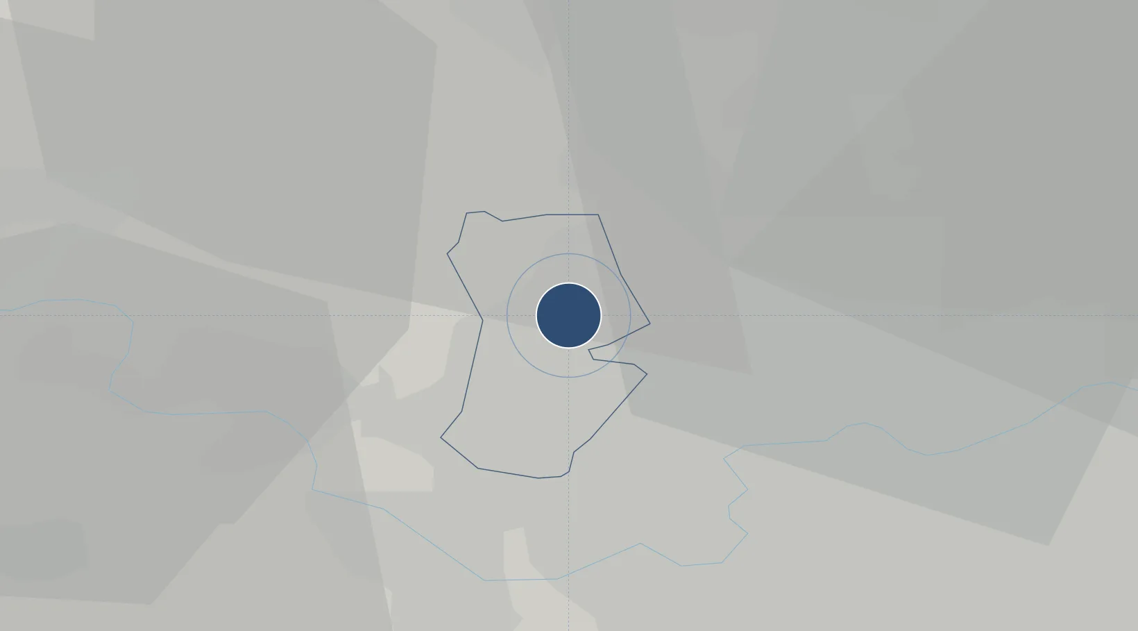
51.5530°, -0.4182°
5,545 ft
Longest runway
1
Runways
124 ft
Elevation
Runway & Layout

Radio Frequencies
ATIS
125.125 MHz
ATIS
300.35 MHz
TWR
120.675 MHz
TWR
281.175 MHz
APP
126.45 MHz
DEP
120.325 MHz
DEP
129.125 MHz
DIR
130.35 MHz
GRN
121.575 MHz
OPS
132.65 MHz
RDR
125.875 MHz
Talk down
Navaids
CHT NDB Chiltern 277 kHz
Runways · 1
| Runway | Dimensions | Surface | True heading | Lit |
|---|---|---|---|---|
| 07/25 | 5,545 × 151ft | Asphalt | 070° | ✓ |
Airport Specifications
IATA code
NHT
ICAO code
EGWU
Airport class
Medium airport
Scheduled service
No
Runway surface
Asphalt
Served city
Northolt, Greater London
Location
Nearby Logistics Neighbours
Airports
- 1London Heathrow Airport10 km
- 2London City Airport33 km
- 3London Luton Airport36 km
- 4Blackbushe Airport39 km
- 5Farnborough Airport40 km
Cities
- 1Uxbridge5 km
- 2Hackney6 km
- 3Harrow on the Hill6 km
- 4Harefield7 km
- 5Harlington8 km
Ports
- 1London24 km
- 2Tilbury53 km
- 3Gravesend56 km
- 4Chatham Docks69 km
- 5Isle Of Grain79 km
Trade Zones
DatabookThe Record of Consolidated Knowledge
United Kingdom beyond logistics?