Transport Functions
Port
Road
Hub Profile
Region
CON
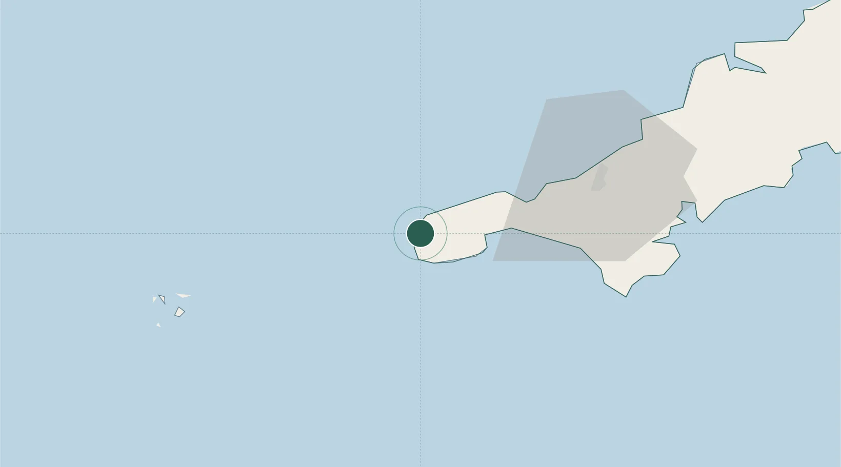
Location
Nearby Logistics Neighbours
Cities
- 1Saint Just2 km
- 2Sennen Cove6 km
- 3Land's End6 km
- 4Pendeen6 km
- 5Porthgwarra10 km
Ports
- 1Newlyn11 km
- 2Penzance12 km
- 3Hayle22 km
- 4Falmouth Harbour45 km
- 5St. Mary's (Scilly Isl.)49 km
Airports
- 1Land's End Airport3 km
- 2Penzance Heliport13 km
- 3RNAS Culdrose32 km
- 4St. Mary's Airport48 km
- 5Tresco Heliport49 km
Trade Zones
DatabookThe Record of Consolidated Knowledge
United Kingdom beyond logistics?