Transport Functions
Port
Road
Hub Profile
Place type
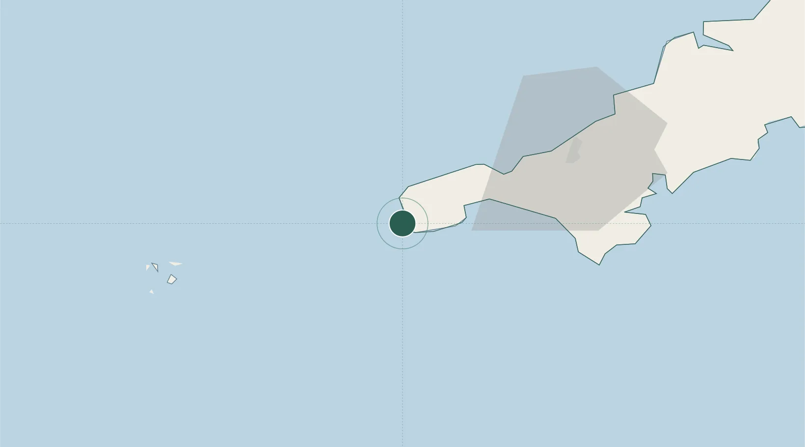
Populated place
Region
England
Time zone
Europe/London
Elevation
60 m
Location
Nearby Logistics Neighbours
Cities
- 1Land's End1 km
- 2Saint Just4 km
- 3Porthgwarra4 km
- 4Cape Cornwall6 km
- 5Penberth7 km
Ports
- 1Newlyn11 km
- 2Penzance13 km
- 3Hayle24 km
- 4Falmouth Harbour46 km
- 5St. Mary's (Scilly Isl.)47 km
Airports
- 1Land's End Airport5 km
- 2Penzance Heliport15 km
- 3RNAS Culdrose32 km
- 4St. Mary's Airport46 km
- 5Tresco Heliport47 km
Trade Zones
DatabookThe Record of Consolidated Knowledge
United Kingdom beyond logistics?