Transport Functions
Port
Rail
Road
Hub Profile
Place type
Populated place
Region
Schleswig-Holstein
Time zone
Europe/Berlin
Elevation
18 m
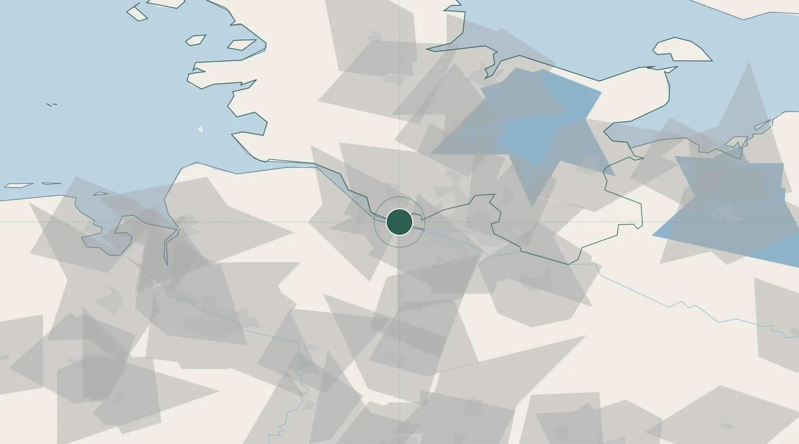
Location
Nearby Logistics Neighbours
Cities
- 1Holm (Pinneberg)4 km
- 2Hetlingen6 km
- 3Steinkirchen (Altes Land)6 km
- 4Haseldorf9 km
- 5Dollern11 km
Ports
- 1Butzfleth14 km
- 2Hamburg16 km
- 3Gluckstadt29 km
- 4Itzehoe39 km
- 5Brunsbuttel Elbahafen48 km
Airports
Trade Zones
DatabookThe Record of Consolidated Knowledge
Germany beyond logistics?