Medium airport · Algeria
Bou Saada AirportDAAD
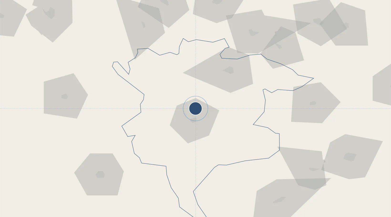
35.3325°, 4.2064°
7,218 ft
Longest runway
1
Runways
1,506 ft
Elevation
Runway & Layout

Radio Frequencies
TWR
118.1 MHz
Navaids
BSA VOR-DME Bou Saada 115.90 MHz
BSA NDB Bou Saada 335 kHz
Runways · 1
| Runway | Dimensions | Surface | True heading | Lit |
|---|---|---|---|---|
| 04/22 | 7,218 × 98ft | Asphalt | 042° | — |
Airport Specifications
IATA code
BUJ
ICAO code
DAAD
Airport class
Medium airport
Scheduled service
No
Runway surface
Asphalt
Served city
Ouled Sidi Brahim
Location
Nearby Logistics Neighbours
Airports
- 1Ain Arnat Airport138 km
- 2Biskra - Mohamed Khider Airport152 km
- 3Soummam–Abane Ramdane Airport172 km
- 4Houari Boumediene Airport176 km
- 5Boufarik Air Base180 km
Cities
- 1El Merdja76 km
- 2Bordj Bou Arreridj96 km
- 3Guellal128 km
- 4Sétif143 km
- 5Kherrata160 km
Trade Zones
- 1Depósito Franco de Alicante535 km
- 2Bizerte Park of Economic Activities551 km
- 3Free Zone of Portovesme568 km
- 4Berkane Agro-Pole596 km
- 5Depósito Franco de Valencia607 km
DatabookThe Record of Consolidated Knowledge
Algeria beyond logistics?