UN/LOCODE hub · Algeria
DZBOR
Bordj Bou Arreridj
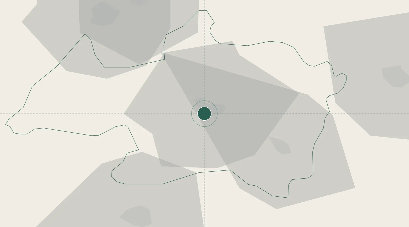
36.0667°, 4.7667°
158,812
Population
3
Transport functions
Transport Functions
Rail
Road
Multimodal
Hub Profile
Place type
Regional capital
Region
Bordj Bou Arréridj
Population
158,812
Time zone
Africa/Algiers
Elevation
906 m
Location
Nearby Logistics Neighbours
Cities
- 1El Merdja37 km
- 2Guellal51 km
- 3Sétif58 km
- 4Kherrata65 km
- 5Bejaia (ex Bougie)81 km
Airports
- 1Ain Arnat Airport52 km
- 2Soummam–Abane Ramdane Airport77 km
- 3Bou Saada Airport96 km
- 4Jijel Ferhat Abbas Airport128 km
- 5Batna Mostefa Ben Boulaid Airport143 km
Trade Zones
DatabookThe Record of Consolidated Knowledge
Algeria beyond logistics?