Transport Functions
Multimodal
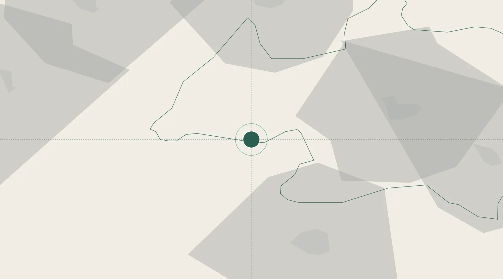
Hub Profile
Place type
Populated place
Region
Bordj Bou Arréridj
Time zone
Africa/Algiers
Elevation
968 m
Location
Nearby Logistics Neighbours
Cities
- 1Bordj Bou Arreridj37 km
- 2Guellal87 km
- 3Sétif95 km
- 4Kherrata97 km
- 5Bordj Menaïel101 km
Airports
- 1Bou Saada Airport76 km
- 2Ain Arnat Airport89 km
- 3Soummam–Abane Ramdane Airport101 km
- 4Houari Boumediene Airport129 km
- 5Boufarik Air Base147 km
Trade Zones
- 1Depósito Franco de Alicante502 km
- 2Free Zone of Portovesme503 km
- 3Bizerte Park of Economic Activities510 km
- 4Depósito Franco de Valencia563 km
- 5Zona Franca de Barcelona625 km
DatabookThe Record of Consolidated Knowledge
Algeria beyond logistics?