Medium airport · Algeria
Abdelhafid Boussouf Bou Chekif AirportDAOB
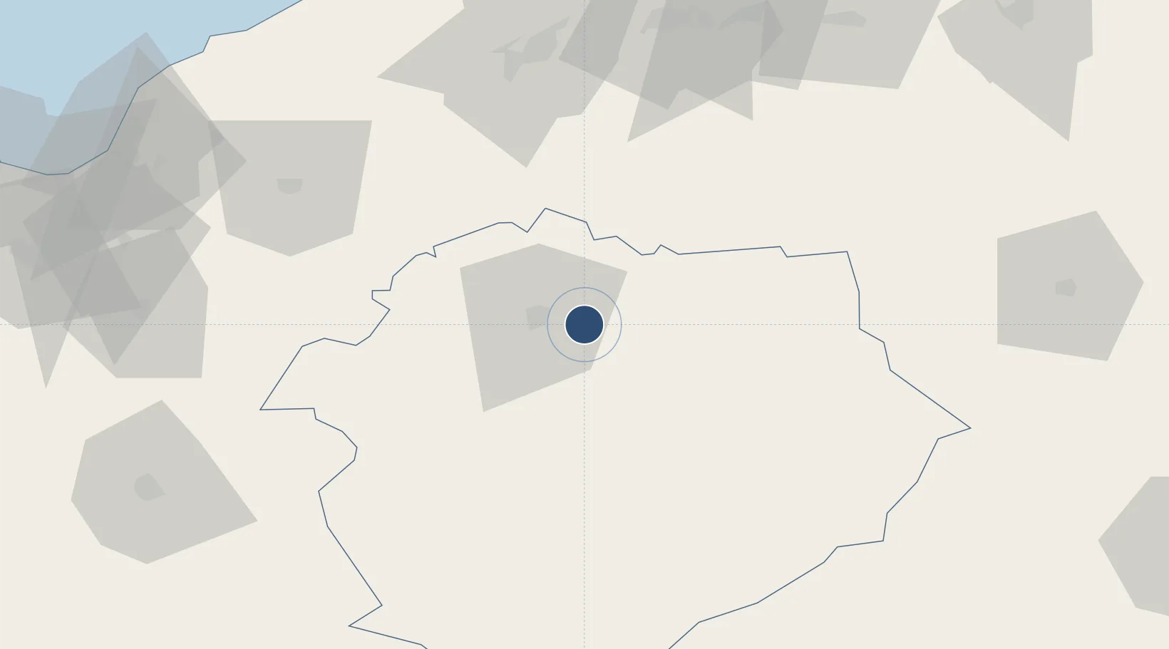
35.3411°, 1.4631°
9,843 ft
Longest runway
1
Runways
3,245 ft
Elevation
Runway & Layout

Radio Frequencies
TWR
118.1 MHz
TIARET TWR
Navaids
TRB VOR-DME Tiaret 116.30 MHz
TRB NDB Tiaret 389 kHz
Runways · 1
| Runway | Dimensions | Surface | True heading | Lit |
|---|---|---|---|---|
| 08/26 | 9,843 × 148ft | Asphalt | 081° | ✓ |
Airport Specifications
IATA code
TID
ICAO code
DAOB
Airport class
Medium airport
Scheduled service
No
Runway surface
Asphalt
Served city
Tiaret
Location
Nearby Logistics Neighbours
Airports
- 1Relizane Airport89 km
- 2Chlef Aboubakr Belkaid International Airport98 km
- 3Ghriss Airport120 km
- 4Blida Airport178 km
- 5Oran Tafraoui Airport182 km
Cities
- 1Chlef91 km
- 2Khemis Miliana121 km
- 3Ténès131 km
- 4Corinth142 km
- 5Cherchell155 km
Ports
- 1Tenes133 km
- 2Mostaganem141 km
- 3Arzew169 km
- 4Oran194 km
- 5Alger214 km
Trade Zones
- 1Berkane Agro-Pole347 km
- 2Depósito Franco de Alicante376 km
- 3Melilla Autonomous Community399 km
- 4Nador WestMed Free Zone421 km
- 5Depósito Franco de Valencia483 km
DatabookThe Record of Consolidated Knowledge
Algeria beyond logistics?