Transport Functions
Port
Road
Hub Profile
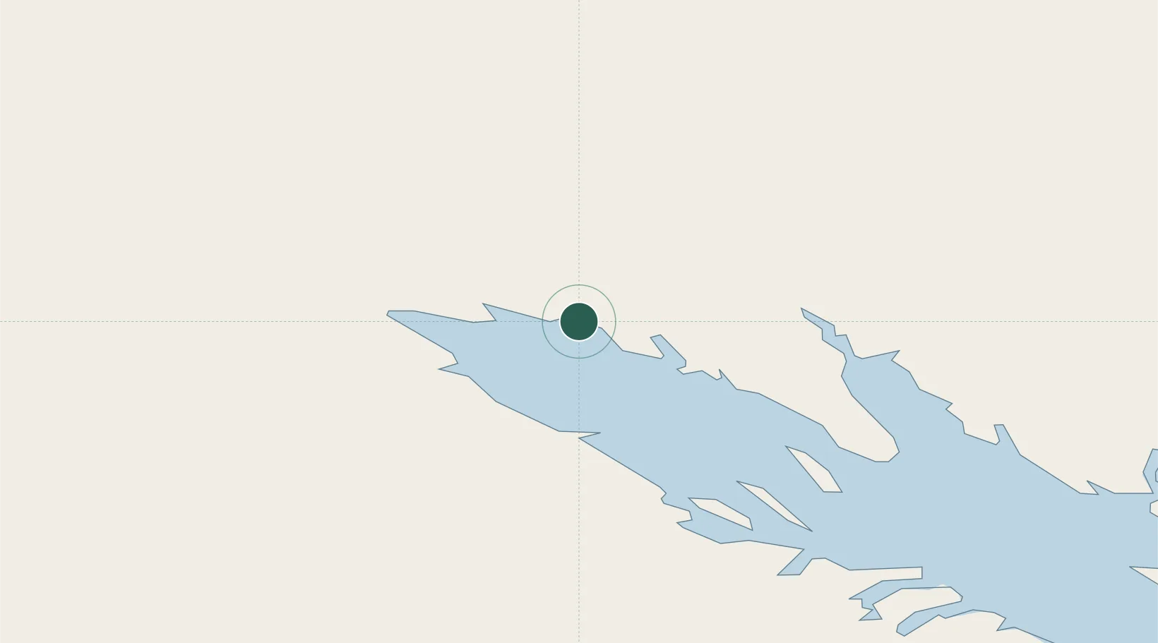
Place type
Regional capital
Region
Nunavut
Population
7,429
Time zone
America/Iqaluit
Elevation
14 m
Location
Nearby Logistics Neighbours
Cities
- 1Tórshavn248 km
- 2Kovik Bay530 km
- 3Seven Islands Bay542 km
- 4Kuujjuaq626 km
- 5Hebron691 km
Ports
- 1Pangnirtung297 km
- 2Deception Bay359 km
- 3Nain882 km
- 4Pond Inlet1056 km
- 5Kajalleq Upernavik1076 km
Airports
- 1Iqaluit Airport4 km
- 2Kimmirut Airport120 km
- 3Kangiqsujuaq (Wakeham Bay) Airport296 km
- 4Pangnirtung Airport299 km
- 5Quaqtaq Airport304 km
Trade Zones
- 1FTZ No. 179 Madawaska1830 km
- 2Crossroads Business Park1845 km
- 3Québec City FTZ1887 km
- 4Cape Breton Regional Municipality Foreign Trade Zone2012 km
- 5Greater Montreal Free Zone Center2051 km
DatabookThe Record of Consolidated Knowledge
Canada beyond logistics?