Runway & Layout

Airport Specifications
IATA code
YLC
ICAO code
CYLC
Airport class
Small airport
Scheduled service
Yes
Served city
Kimmirut
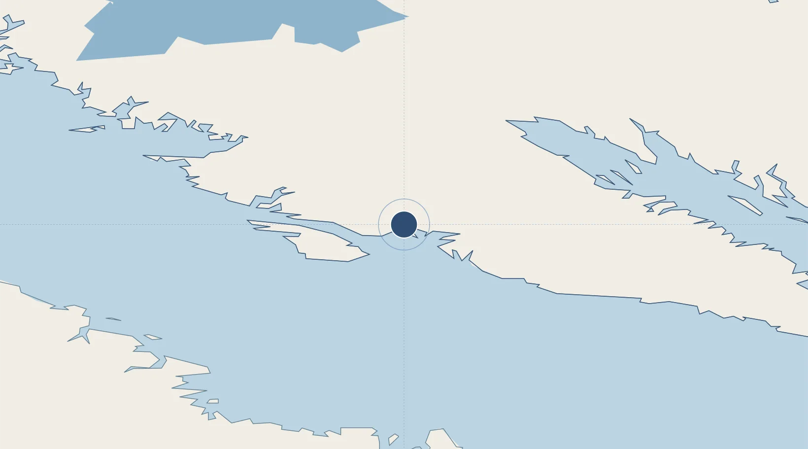
Location
Nearby Logistics Neighbours
Airports
- 1Iqaluit Airport121 km
- 2Kangiqsujuaq (Wakeham Bay) Airport176 km
- 3Quaqtaq Airport201 km
- 4Salluit Airport306 km
- 5Kangirsuk Airport314 km
Cities
- 1Iqaluit120 km
- 2Tórshavn262 km
- 3Kovik Bay432 km
- 4Seven Islands Bay503 km
- 5Kuujjuaq534 km
Ports
- 1Deception Bay259 km
- 2Pangnirtung415 km
- 3Nain836 km
- 4Pond Inlet1137 km
- 5Goose Bay1192 km
Trade Zones
- 1FTZ No. 179 Madawaska1734 km
- 2Québec City FTZ1783 km
- 3Crossroads Business Park1806 km
- 4Cape Breton Regional Municipality Foreign Trade Zone1942 km
- 5Greater Montreal Free Zone Center1942 km
DatabookThe Record of Consolidated Knowledge
Canada beyond logistics?