Small airport · Canada
Port Hope Simpson AirportCCP4
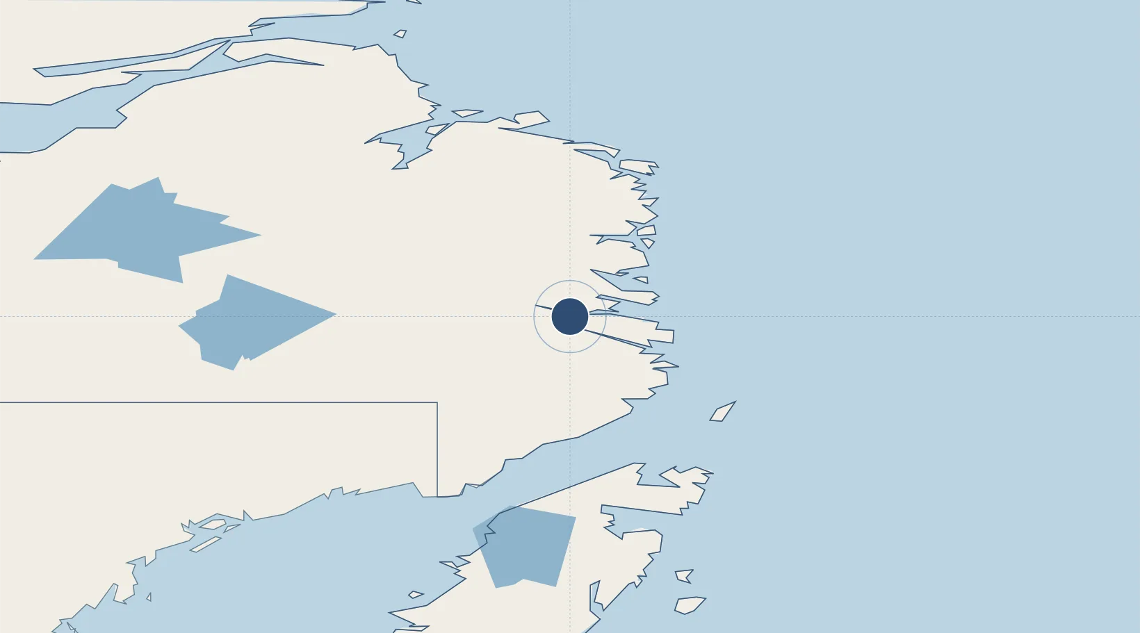
52.5281°, -56.2861°
2,500 ft
Longest runway
1
Runways
347 ft
Elevation
Runway & Layout

Navaids
6F NDB Port Hope Simpson 367 kHz
Runways · 1
| Runway | Dimensions | Surface | True heading | Lit |
|---|---|---|---|---|
| 12/30 | 2,500 × 75ft | GRAVEL | — | — |
Airport Specifications
IATA code
YHA
ICAO code
CCP4
Airport class
Small airport
Scheduled service
Yes
Runway surface
GRAVEL
Served city
Port Hope Simpson
Location
Nearby Logistics Neighbours
Airports
- 1Charlottetown Airport29 km
- 2Williams Harbour Airport34 km
- 3Mary's Harbour Airport39 km
- 4St. Lewis (Fox Harbour) Airport45 km
- 5Black Tickle Airport110 km
Cities
- 1Williams Harbour34 km
- 2Mary's Harbour39 km
- 3Red Bay89 km
- 4L'Anse-au-Loup119 km
- 5Saint-Anthony136 km
Ports
- 1Blanc Sablon137 km
- 2St Anthony138 km
- 3Roddickton185 km
- 4Goose Bay285 km
- 5Baie Verte290 km
Trade Zones
- 1Crossroads Business Park416 km
- 2Cape Breton Regional Municipality Foreign Trade Zone777 km
- 3Halifax Gateway1026 km
- 4FTZ No. 179 Madawaska1040 km
- 5Saint John1076 km
DatabookThe Record of Consolidated Knowledge
Canada beyond logistics?