Transport Functions
Port
Road
Hub Profile
Place type
Populated place
Region
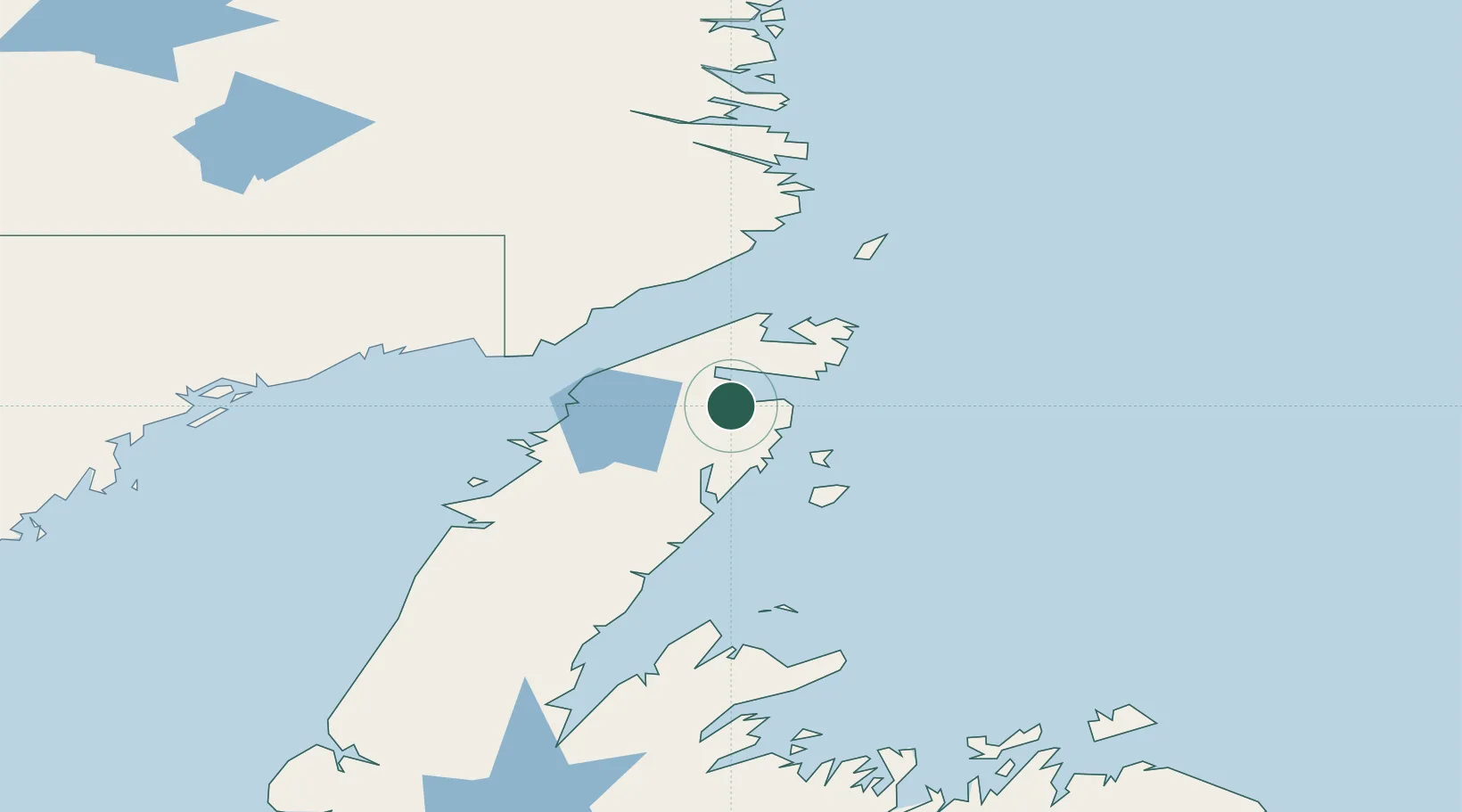
Newfoundland and Labrador
Population
246
Time zone
America/St_Johns
Elevation
3 m
Location
Nearby Logistics Neighbours
Cities
- 1Saint-Anthony37 km
- 2Roddickton38 km
- 3Red Bay67 km
- 4L'Anse-au-Loup68 km
- 5Mary's Harbour127 km
Ports
- 1Roddickton36 km
- 2St Anthony37 km
- 3Blanc Sablon82 km
- 4Baie Verte141 km
- 5Springdale187 km
Airports
- 1St. Anthony Airport24 km
- 2Lourdes-de-Blanc-Sablon Airport86 km
- 3Mary's Harbour Airport125 km
- 4St. Lewis (Fox Harbour) Airport134 km
- 5Port Hope Simpson Airport151 km
Trade Zones
- 1Crossroads Business Park269 km
- 2Cape Breton Regional Municipality Foreign Trade Zone657 km
- 3Halifax Gateway919 km
- 4Saint John991 km
- 5FTZ No. 179 Madawaska993 km
DatabookThe Record of Consolidated Knowledge
Canada beyond logistics?