Small airport · Canada
Mary's Harbour AirportCYMH
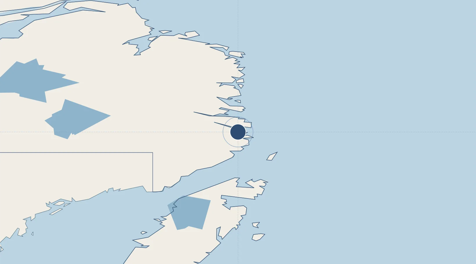
52.3028°, -55.8474°
2,500 ft
Longest runway
1
Runways
38 ft
Elevation
Runway & Layout

Navaids
YMH NDB Mary'S Harbour 250 kHz
Runways · 1
| Runway | Dimensions | Surface | True heading | Lit |
|---|---|---|---|---|
| 11/29 | 2,500 × 75ft | GRAVEL | — | — |
Airport Specifications
IATA code
YMH
ICAO code
CYMH
Airport class
Small airport
Scheduled service
Yes
Runway surface
GRAVEL
Served city
Mary's Harbour
Location
Nearby Logistics Neighbours
Airports
- 1St. Lewis (Fox Harbour) Airport14 km
- 2Williams Harbour Airport30 km
- 3Port Hope Simpson Airport39 km
- 4Charlottetown Airport55 km
- 5St. Anthony Airport103 km
Cities
- 1Mary's Harbour2 km
- 2Williams Harbour28 km
- 3Red Bay74 km
- 4Saint-Anthony104 km
- 5L'Anse-au-Loup111 km
Ports
- 1St Anthony106 km
- 2Blanc Sablon132 km
- 3Roddickton161 km
- 4Baie Verte267 km
- 5Twillingate305 km
Trade Zones
- 1Crossroads Business Park384 km
- 2Cape Breton Regional Municipality Foreign Trade Zone769 km
- 3Halifax Gateway1023 km
- 4FTZ No. 179 Madawaska1054 km
- 5Saint John1080 km
DatabookThe Record of Consolidated Knowledge
Canada beyond logistics?