Free Trade Zone · China

China-ASEAN Youth Industrial Park Active
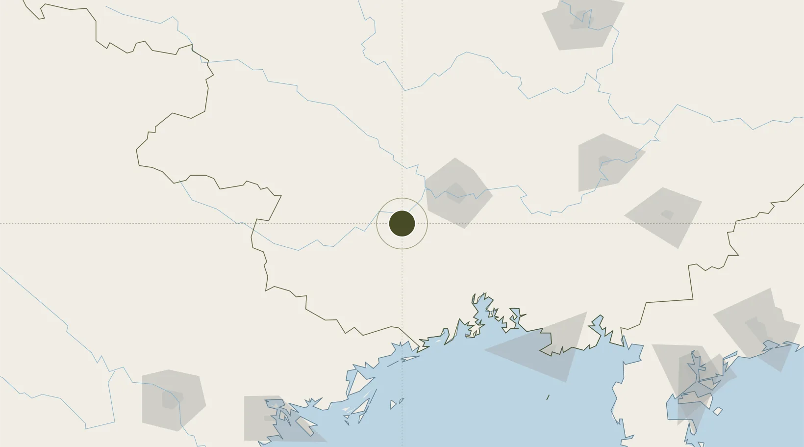
22.5551°, 107.8414°
324 ha
Zone area
103.7 km
Nearest port
35.3 km
Nearest airport

Gateway access

Nearest neighbours — logibook spatial index (haversine) over the source coordinates

Zone profile

Zone type
Free Trade Zone
Open Zone Map
Region
Guangxi
Open Zone Map
Status
Active
Open Zone Map
Management
Public
Open Zone Map
Operator
ASEAN Youth Industrial Park Management Committee
Open Zone Map
Legal framework
Guangxi Provincial Committee of the Communist Party of China, Guangxi Provincial People's Government: Decision on Accelerating the Construction of a Modern Industrial System (July 27, 2020), Several Opinions of the General Office of the State Council on P
Open Zone Map

Location

Location of ozm-5302
Natural Earth 10m (public domain) · Guangxi · ozm-5302 · 22.56, 107.84GoogleOSMYandex

Nearby Logistics Neighbours

Ports
  1. 1Fang-Cheng104 km
  2. 2Qinzhou119 km
  3. 3Beihai174 km
  4. 4Cam Pha176 km
  5. 5Hon Gai196 km
Nearest neighbours — logibook spatial index (haversine) over the source coordinates
Airports
  1. 1Nanning Wuxu International Airport35 km
  2. 2Baihe Ningming Air Base88 km
  3. 3Baise (Bose) Bama Airport158 km
  4. 4Van Don International Airport165 km
  5. 5Beihai Fucheng Airport188 km
Nearest neighbours — logibook spatial index (haversine) over the source coordinates
Cities
  1. 1Nanning56 km
  2. 2Shuolong110 km
  3. 3Jiangshan Pt112 km
  4. 4Fangcheng Pt117 km
  5. 5Dongxing120 km
Nearest neighbours — logibook spatial index (haversine) over the source coordinates
DatabookThe Record of Consolidated Knowledge
China beyond logistics?
Browse databook

All Sources

Trade ZonesOpen Zone Map
CC BY
Portsthe NGA World Port Index
Public domain (US gov)
AirportsOurAirports
Public domain
LocationsUN/LOCODE
UN/LOCODE — free
← China trade zones