Transport Functions
Port
Road
Hub Profile
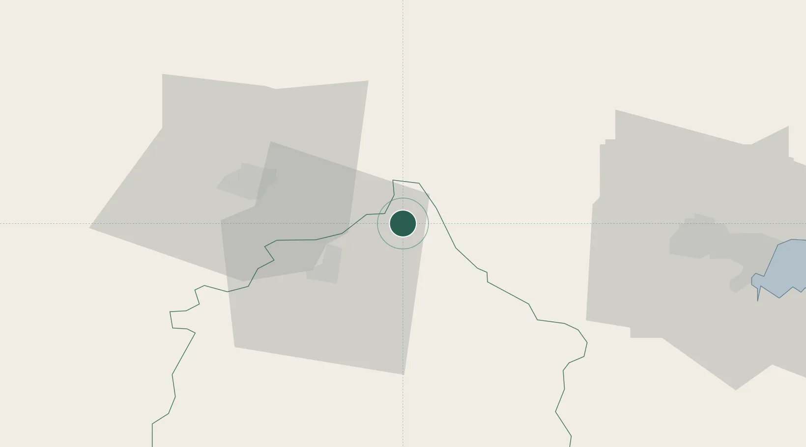
Place type
Populated place
Region
Yambol
Population
5,817
Time zone
Europe/Sofia
Elevation
149 m
Location
Nearby Logistics Neighbours
Ports
- 1Burgas67 km
- 2Varna123 km
- 3Tekirdag193 km
- 4Mangalia205 km
- 5Alexandroupoli207 km
Airports
- 1Bezmer Air Base32 km
- 2Burgas Airport68 km
- 3Gorna Oryahovitsa Airport100 km
- 4Varna Airport117 km
- 5Balchik Airfield152 km
Trade Zones
- 1Bourgas Free Economic Zone60 km
- 2Svilengrad Free Economic Zone101 km
- 3Kirklareli Organized Industrial Zone115 km
- 4Rousse Free Zone153 km
- 5Free Zone Giurgiu155 km
DatabookThe Record of Consolidated Knowledge
Bulgaria beyond logistics?