Large airport · China

Quanzhou Jinjiang International AirportZSQZ
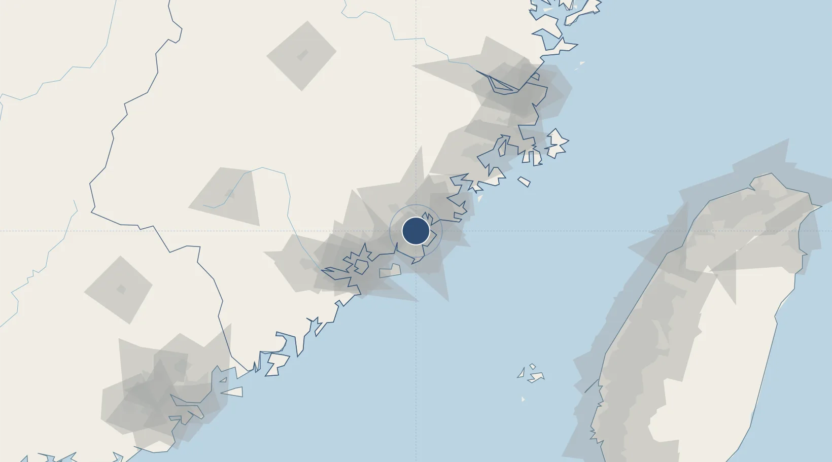
24.7959°, 118.5886°
8,530 ft
Longest runway
1
Runways
39 ft
Elevation

Runway & Layout

Quanzhou Jinjiang International Airport runway & taxiway layout
Runway & taxiway layout — OpenStreetMap (ODbL) / OurAirports

Runways · 1

RunwayDimensions SurfaceTrue headingLit
03/21 8,530 × 164ft Asphalt 034°
OurAirports

Airport Specifications

IATA code
JJN
OurAirports
ICAO code
ZSQZ
OurAirports
Airport class
Large airport
OurAirports
Scheduled service
Yes
OurAirports
Runway surface
Asphalt
OurAirports
Served city
Quanzhou
OurAirports

Location

Location of ZSQZ
Natural Earth 10m (public domain) · Fujian · ZSQZ · 24.80, 118.59GoogleOSMYandex

Nearby Logistics Neighbours

Airports
  1. 1Huian Air Base34 km
  2. 2Kinmen Airport47 km
  3. 3Xiamen Gaoqi International Airport54 km
  4. 4Longtian Air Base123 km
  5. 5Fuzhou Air Base153 km
Nearest neighbours — logibook spatial index (haversine) over the source coordinates
Cities
  1. 1Shishi8 km
  2. 2Houzhu13 km
  3. 3Quanzhou15 km
  4. 4Jinjiang Dry Port16 km
  5. 5Xiangzhi18 km
Nearest neighbours — logibook spatial index (haversine) over the source coordinates
Ports
  1. 1Quanzhou10 km
  2. 2Zhangzhou46 km
  3. 3Xiuyu63 km
  4. 4Xiamen65 km
  5. 5Dongshan159 km
Nearest neighbours — logibook spatial index (haversine) over the source coordinates
Trade Zones
  1. 1Quanzhou Export Processing Zone10 km
  2. 2Nanan Economic Development Zone32 km
  3. 3Xiangan Industrial Park36 km
  4. 4Huidong Industrial Park37 km
  5. 5Huian Economic Development Zone39 km
Nearest neighbours — logibook spatial index (haversine) over the source coordinates
DatabookThe Record of Consolidated Knowledge
China beyond logistics?
Browse databook

All Sources

AirportsOurAirports
Public domain
Portsthe NGA World Port Index
Public domain (US gov)
LocationsUN/LOCODE
UN/LOCODE — free
Trade Zonesthe World Bank SEZ database
CC BY 4.0
Trade ZonesOpen Zone Map
CC BY
InfrastructureOpenStreetMap
ODbL 1.0
← China airports