Export Processing Zone · China

Huian Economic Development Zone Active
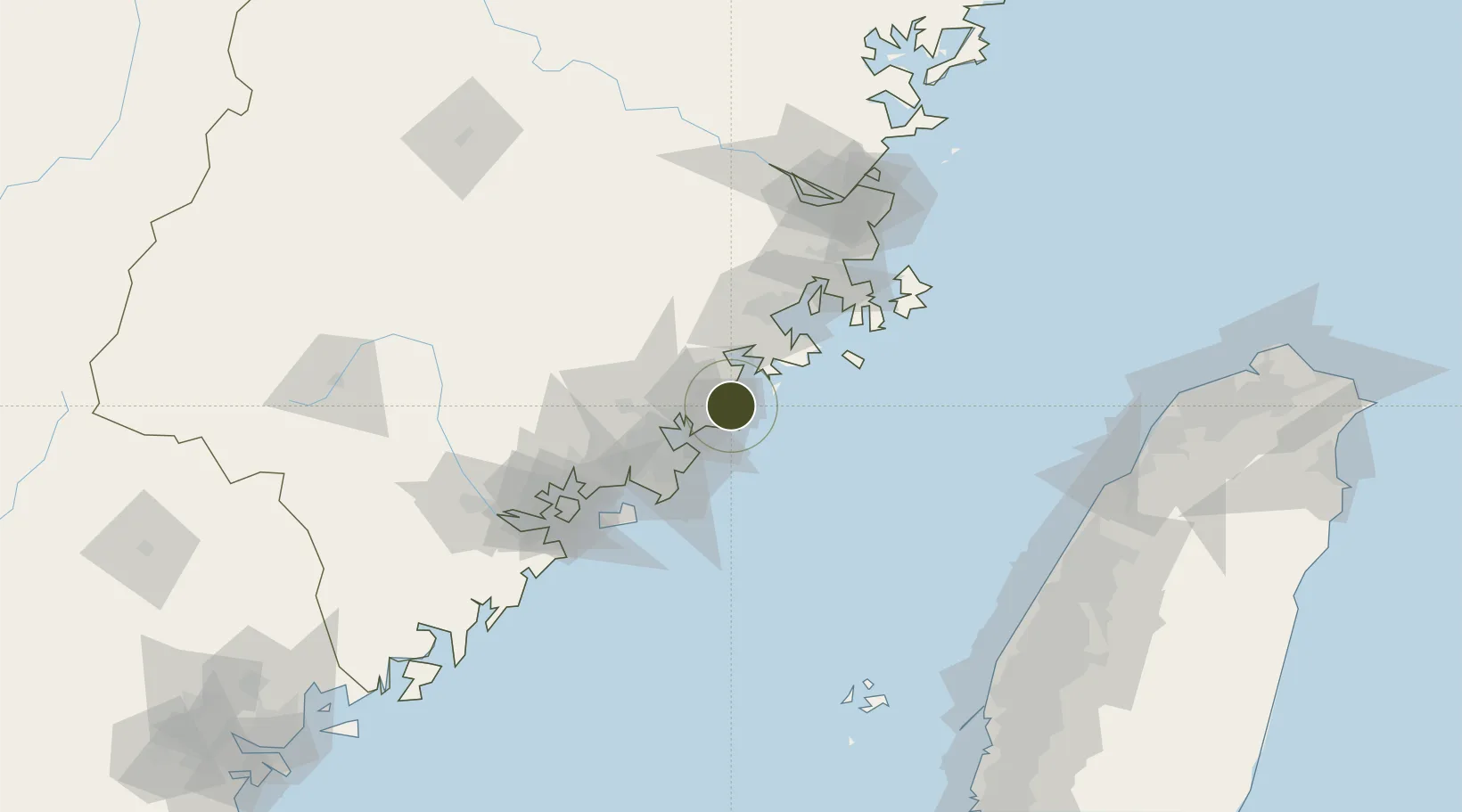
24.9868°, 118.9135°
3,800 ha
Zone area
28.3 km
Nearest port
11.6 km
Nearest airport

Gateway access

Nearest neighbours — logibook spatial index (haversine) over the source coordinates

Zone profile

Zone type
Export Processing Zone
Open Zone Map
Region
Fujian
Open Zone Map
Status
Active
Open Zone Map
Management
Public
Open Zone Map
Operator
Hui'an County Economic and Technological Development Zone Management Committee Construction Bureau
Open Zone Map
Legal framework
Unavailable
Open Zone Map

Location

Location of ozm-1411
Natural Earth 10m (public domain) · Fujian · ozm-1411 · 24.99, 118.91GoogleOSMYandex

Nearby Logistics Neighbours

Ports
  1. 1Xiuyu28 km
  2. 2Quanzhou34 km
  3. 3Zhangzhou84 km
  4. 4Xiamen104 km
  5. 5Fuzhou128 km
Nearest neighbours — logibook spatial index (haversine) over the source coordinates
Airports
  1. 1Huian Air Base12 km
  2. 2Quanzhou Jinjiang International Airport39 km
  3. 3Kinmen Airport84 km
  4. 4Longtian Air Base85 km
  5. 5Xiamen Gaoqi International Airport93 km
Nearest neighbours — logibook spatial index (haversine) over the source coordinates
Cities
  1. 1Hui'an,Quanzhou6 km
  2. 2Quangang,Quanzhou16 km
  3. 3Houzhu27 km
  4. 4Xiuyu Pt28 km
  5. 5Xiangzhi29 km
Nearest neighbours — logibook spatial index (haversine) over the source coordinates
Trade Zones
  1. 1Huidong Industrial Park3 km
  2. 2Meizhou Bay North Shore Economic Development Zone29 km
  3. 3Nanan Economic Development Zone42 km
  4. 4Quanzhou Export Processing Zone43 km
  5. 5Hualin Economic Development Zone46 km
Nearest neighbours — logibook spatial index (haversine) over the source coordinates
DatabookThe Record of Consolidated Knowledge
China beyond logistics?
Browse databook

All Sources

Trade ZonesOpen Zone Map
CC BY
Portsthe NGA World Port Index
Public domain (US gov)
AirportsOurAirports
Public domain
LocationsUN/LOCODE
UN/LOCODE — free
← China trade zones