UN/LOCODE hub · China
CNUIA

Hui'an,Quanzhou

25.0333°, 118.9333°
4
Transport functions

Transport Functions

Port
Rail
Road
Multimodal
UN/LOCODE

Hub Profile

Region
FJ
GeoNames

Location

Location of CNUIA
Natural Earth 10m (public domain) · FJ · CNUIA · 25.03, 118.93GoogleOSMYandex

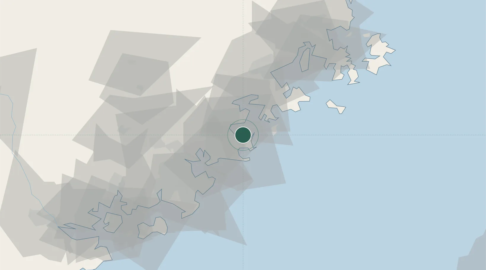
Nearby Logistics Neighbours

Cities
  1. 1Quangang,Quanzhou11 km
  2. 2Xiuyu Pt22 km
  3. 3Houzhu32 km
  4. 4Xiangzhi34 km
  5. 5Quanzhou35 km
Nearest neighbours — logibook spatial index (haversine) over the source coordinates
Ports
  1. 1Xiuyu23 km
  2. 2Quanzhou38 km
  3. 3Zhangzhou88 km
  4. 4Xiamen109 km
  5. 5Fuzhou122 km
Nearest neighbours — logibook spatial index (haversine) over the source coordinates
Airports
  1. 1Huian Air Base13 km
  2. 2Quanzhou Jinjiang International Airport44 km
  3. 3Longtian Air Base80 km
  4. 4Kinmen Airport89 km
  5. 5Xiamen Gaoqi International Airport98 km
Nearest neighbours — logibook spatial index (haversine) over the source coordinates
Trade Zones
  1. 1Huian Economic Development Zone6 km
  2. 2Huidong Industrial Park7 km
  3. 3Meizhou Bay North Shore Economic Development Zone24 km
  4. 4Hualin Economic Development Zone40 km
  5. 5Nanan Economic Development Zone44 km
Nearest neighbours — logibook spatial index (haversine) over the source coordinates
DatabookThe Record of Consolidated Knowledge
China beyond logistics?
Browse databook

All Sources

LocationsUN/LOCODE
UN/LOCODE — free
Portsthe NGA World Port Index
Public domain (US gov)
AirportsOurAirports
Public domain
Trade Zonesthe World Bank SEZ database
CC BY 4.0
Trade ZonesOpen Zone Map
CC BY
← China locations