Free Trade Zone · China

Jinxi Industrial Park Active
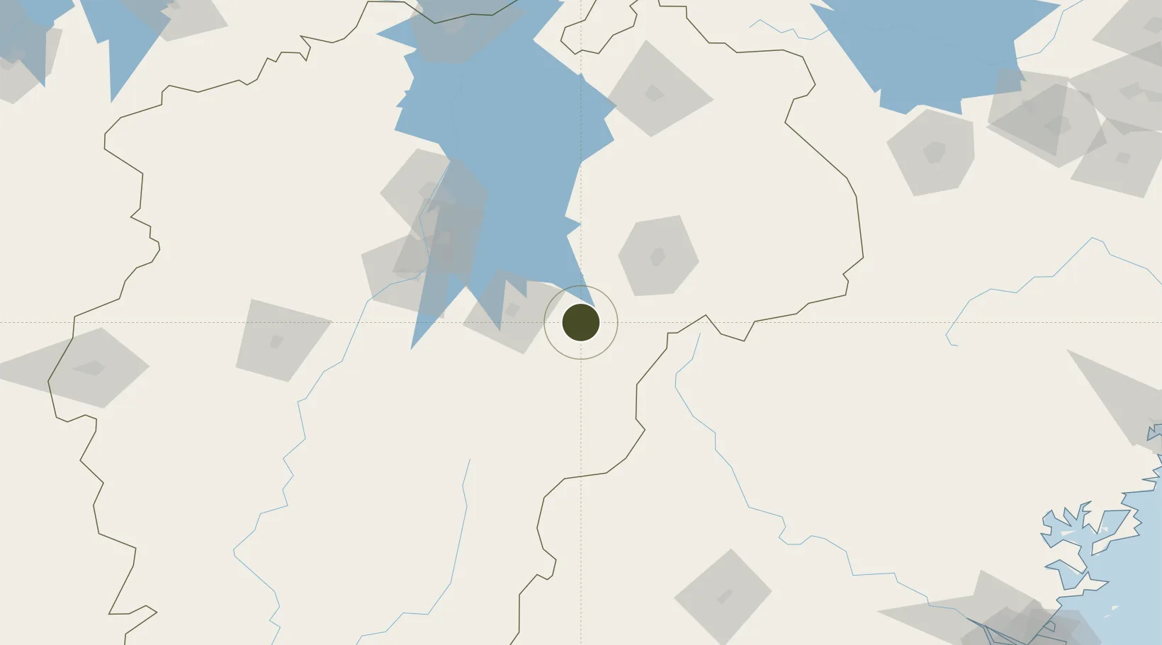
27.9287°, 116.7697°
340 ha
Zone area
323.9 km
Nearest port
99.4 km
Nearest airport

Gateway access

Nearest neighbours — logibook spatial index (haversine) over the source coordinates

Zone profile

Zone type
Free Trade Zone
Open Zone Map
Region
Jiangxi
Open Zone Map
Status
Active
Open Zone Map
Management
Public
Open Zone Map
Operator
Jinxi Industrial Park Management committee
Open Zone Map
Legal framework
Jinxi County established Jinxi Development Zone in the western suburb of the county in 2001 and renamed it Jinxi Industrial Park in 2004
Open Zone Map

Location

Location of ozm-1507
Natural Earth 10m (public domain) · Jiangxi · ozm-1507 · 27.93, 116.77GoogleOSMYandex

Nearby Logistics Neighbours

Ports
  1. 1Fuzhou324 km
  2. 2Xiuyu372 km
  3. 3Hankow381 km
  4. 4Wenzhou381 km
  5. 5Quanzhou385 km
Nearest neighbours — logibook spatial index (haversine) over the source coordinates
Airports
  1. 1Nanchang Xiangtang Air Base99 km
  2. 2Zhangshu Air Base120 km
  3. 3Nanping Wuyishan Airport124 km
  4. 4Shangrao Sanqingshan Airport127 km
  5. 5Nanchang Changbei International Airport134 km
Nearest neighbours — logibook spatial index (haversine) over the source coordinates
Cities
  1. 1Yingtan48 km
  2. 2Fuzhou50 km
  3. 3Xili143 km
  4. 4Jingdezhen157 km
  5. 5Nanping169 km
Nearest neighbours — logibook spatial index (haversine) over the source coordinates
Trade Zones
  1. 1Yujiang Industrial Park33 km
  2. 2Fuzhou Jinchao Economic Development Zone38 km
  3. 3Dongxiang Economic Development Zone39 km
  4. 4Fubei Industrial Park48 km
  5. 5Fubei Industrial Zone48 km
Nearest neighbours — logibook spatial index (haversine) over the source coordinates
DatabookThe Record of Consolidated Knowledge
China beyond logistics?
Browse databook

All Sources

Trade ZonesOpen Zone Map
CC BY
Portsthe NGA World Port Index
Public domain (US gov)
AirportsOurAirports
Public domain
LocationsUN/LOCODE
UN/LOCODE — free
← China trade zones