Diversified Zone · China

Nanfeng Industrial Park Active
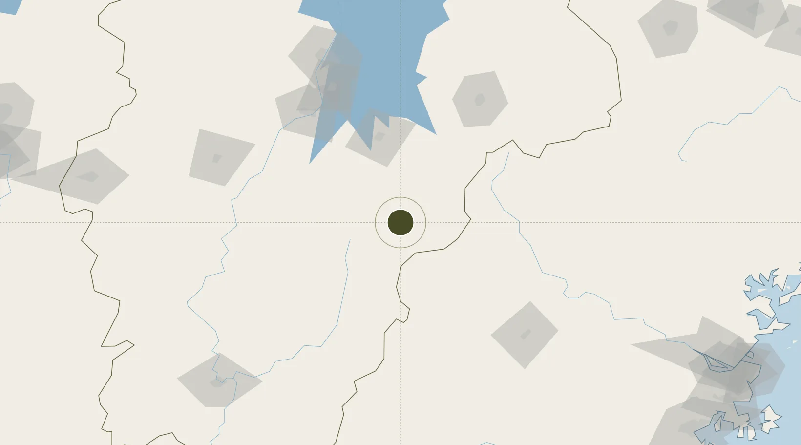
27.2522°, 116.5412°
300 ha
Zone area
303.4 km
Nearest port
130.0 km
Nearest airport

Gateway access

Nearest neighbours — logibook spatial index (haversine) over the source coordinates

Zone profile

Zone type
Diversified Zone
Open Zone Map
Region
Jiangxi
Open Zone Map
Status
Active
Open Zone Map
Management
Public
Open Zone Map
Operator
Management Committee of Nanfeng Industrial Park
Open Zone Map
Legal framework
Established in 1996,
Open Zone Map

Location

Location of ozm-414
Natural Earth 10m (public domain) · Jiangxi · ozm-414 · 27.25, 116.54GoogleOSMYandex

Nearby Logistics Neighbours

Ports
  1. 1Fuzhou303 km
  2. 2Zhangzhou328 km
  3. 3Xiuyu331 km
  4. 4Quanzhou334 km
  5. 5Xiamen347 km
Nearest neighbours — logibook spatial index (haversine) over the source coordinates
Airports
  1. 1Zhangshu Air Base130 km
  2. 2Nanchang Xiangtang Air Base144 km
  3. 3Nanping Wuyishan Airport152 km
  4. 4Sanming Shaxian Airport158 km
  5. 5Liancheng Guanzhishan Airport176 km
Nearest neighbours — logibook spatial index (haversine) over the source coordinates
Cities
  1. 1Xili98 km
  2. 2Fuzhou104 km
  3. 3Yingtan125 km
  4. 4Nanping154 km
  5. 5Sanming / Shanming Shi156 km
Nearest neighbours — logibook spatial index (haversine) over the source coordinates
Trade Zones
  1. 1Yihuang Industrial Park54 km
  2. 2Jianning Economic Development Zone54 km
  3. 3Taining Industrial Park71 km
  4. 4Chongren Industrial Park72 km
  5. 5Jinxi Industrial Park79 km
Nearest neighbours — logibook spatial index (haversine) over the source coordinates
DatabookThe Record of Consolidated Knowledge
China beyond logistics?
Browse databook

All Sources

Trade ZonesOpen Zone Map
CC BY
Portsthe NGA World Port Index
Public domain (US gov)
AirportsOurAirports
Public domain
LocationsUN/LOCODE
UN/LOCODE — free
← China trade zones