Export Processing Zone · China

Yujiang Industrial Park Active
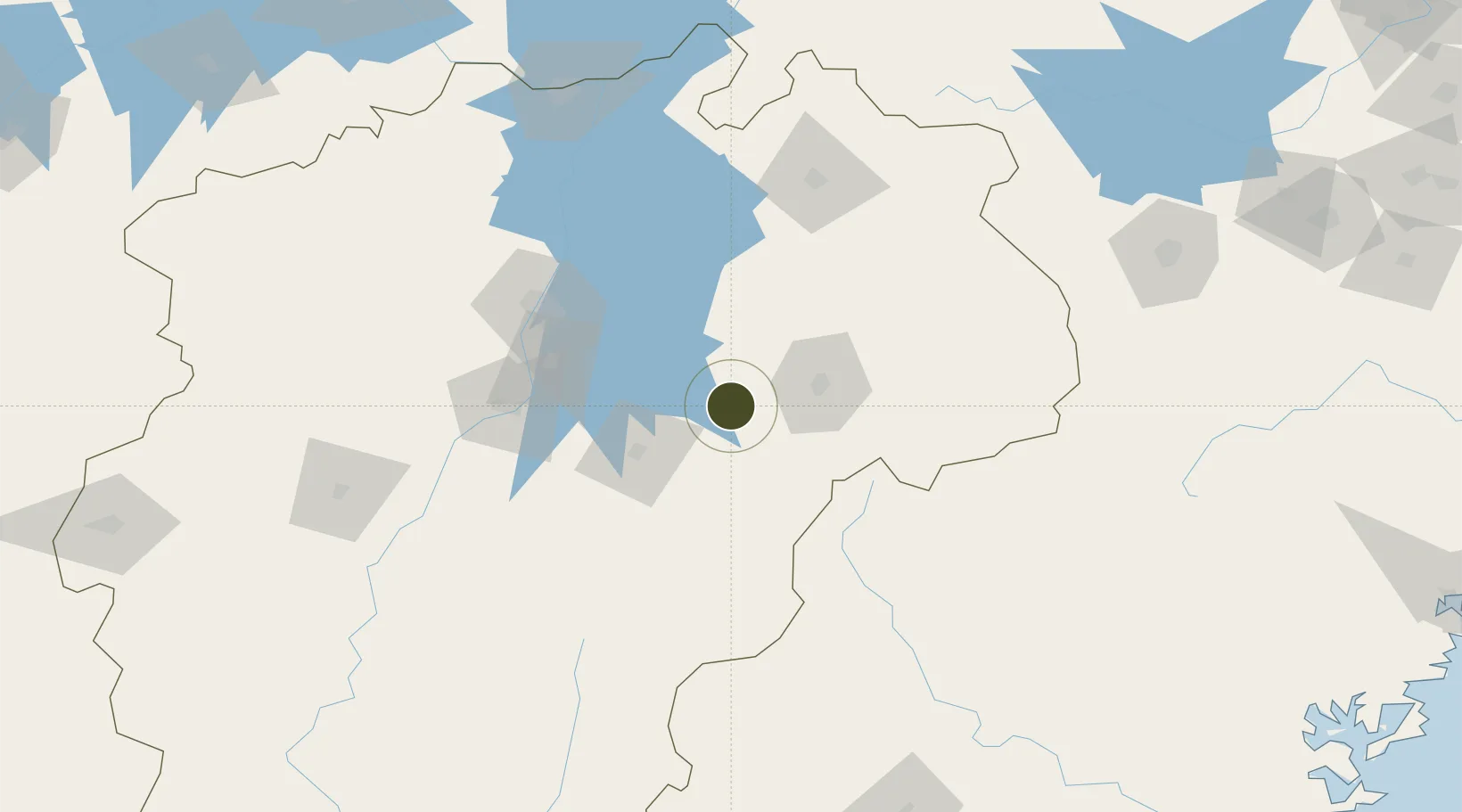
28.2212°, 116.8064°
265 ha
Zone area
342.6 km
Nearest port
89.3 km
Nearest airport

Gateway access

Nearest neighbours — logibook spatial index (haversine) over the source coordinates

Zone profile

Zone type
Export Processing Zone
Open Zone Map
Region
Jiangxi
Open Zone Map
Status
Active
Open Zone Map
Management
Public
Open Zone Map
Operator
Working Committee of Yujiang Industrial Park
Open Zone Map
Legal framework
Master Plan of Yujiang County Ecological New Town (2012-2030)
Open Zone Map

Location

Location of ozm-1083
Natural Earth 10m (public domain) · Jiangxi · ozm-1083 · 28.22, 116.81GoogleOSMYandex

Nearby Logistics Neighbours

Ports
  1. 1Fuzhou343 km
  2. 2Hankow359 km
  3. 3Wenzhou378 km
  4. 4Xiuyu396 km
  5. 5Quanzhou412 km
Nearest neighbours — logibook spatial index (haversine) over the source coordinates
Airports
  1. 1Nanchang Xiangtang Air Base89 km
  2. 2Nanchang Changbei International Airport114 km
  3. 3Shangrao Sanqingshan Airport115 km
  4. 4Zhangshu Air Base125 km
  5. 5Jingdezhen Luojia Airport129 km
Nearest neighbours — logibook spatial index (haversine) over the source coordinates
Cities
  1. 1Yingtan25 km
  2. 2Fuzhou47 km
  3. 3Jingdezhen125 km
  4. 4Xili172 km
  5. 5Jiujiang186 km
Nearest neighbours — logibook spatial index (haversine) over the source coordinates
Trade Zones
  1. 1Dongxiang Economic Development Zone22 km
  2. 2Jinxi Industrial Park33 km
  3. 3Guixi Economic Development Zone36 km
  4. 4Fuzhou Jinchao Economic Development Zone50 km
  5. 5Fubei Industrial Park55 km
Nearest neighbours — logibook spatial index (haversine) over the source coordinates
DatabookThe Record of Consolidated Knowledge
China beyond logistics?
Browse databook

All Sources

Trade ZonesOpen Zone Map
CC BY
Portsthe NGA World Port Index
Public domain (US gov)
AirportsOurAirports
Public domain
LocationsUN/LOCODE
UN/LOCODE — free
← China trade zones