Large airport · Afghanistan

Kabul International AirportOAKB
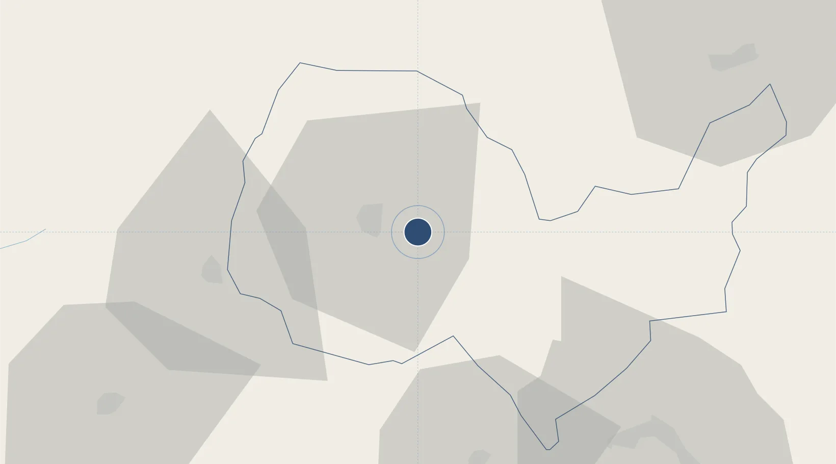
34.5659°, 69.2123°
11,483 ft
Longest runway
1
Runways
5,877 ft
Elevation

Runway & Layout

Kabul International Airport runway & taxiway layout
Runway & taxiway layout — OpenStreetMap (ODbL) / OurAirports

Radio Frequencies

TWR
129.4 MHz
GND
120.3 MHz
APP
131.6 MHz
APP/DEP
OurAirports

Navaids

KBL VOR-DME Kabul 112.00 MHz
KIA TACAN Kabul 133.80 MHz
OKB TACAN Kabul 133.80 MHz
OurAirports

Runways · 1

RunwayDimensions SurfaceTrue headingLit
11/29 11,483 × 164ft Asphalt 107°
OurAirports

Airport Specifications

IATA code
KBL
OurAirports
ICAO code
OAKB
OurAirports
Airport class
Large airport
OurAirports
Scheduled service
Yes
OurAirports
Runway surface
Asphalt
OurAirports
Served city
Kabul
OurAirports

Location

Location of OAKB
Natural Earth 10m (public domain) · Kabul · OAKB · 34.57, 69.21GoogleOSMYandex

Nearby Logistics Neighbours

Airports
  1. 1Bagram Airfield43 km
  2. 2Jalalabad Airport119 km
  3. 3Khost International Airport153 km
  4. 4Salerno South Airport153 km
  5. 5Bacha Khan International Airport221 km
Nearest neighbours — logibook spatial index (haversine) over the source coordinates
Cities
  1. 1Sharona151 km
  2. 2Qasim218 km
  3. 3Hayatabad229 km
  4. 4Torkham250 km
  5. 5Dehdadi307 km
Nearest neighbours — logibook spatial index (haversine) over the source coordinates
Ports
  1. 1Muhamamad Bin Qasim1104 km
  2. 2Karachi1109 km
  3. 3Gwadar1242 km
  4. 4Kandla1286 km
  5. 5Navlakhi1297 km
Nearest neighbours — logibook spatial index (haversine) over the source coordinates
Trade Zones
  1. 1Kabul Special Economic Zone0 km
  2. 2Bagram Special Economic Zone41 km
  3. 3Gardez Special Economic Zone104 km
  4. 4Nangarhar Special Economic Zone119 km
  5. 5Jalalabad Special Economic Zone119 km
Nearest neighbours — logibook spatial index (haversine) over the source coordinates
DatabookThe Record of Consolidated Knowledge
Afghanistan beyond logistics?
Browse databook

All Sources

AirportsOurAirports
Public domain
Portsthe NGA World Port Index
Public domain (US gov)
LocationsUN/LOCODE
UN/LOCODE — free
Trade Zonesthe World Bank SEZ database
CC BY 4.0
Trade ZonesOpen Zone Map
CC BY
InfrastructureOpenStreetMap
ODbL 1.0
← Afghanistan airports