Medium airport · Afghanistan
Bagram AirfieldOAIX
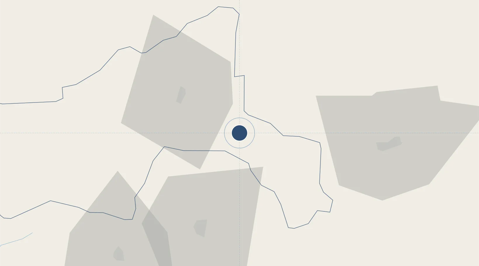
34.9461°, 69.2650°
11,820 ft
Longest runway
2
Runways
4,895 ft
Elevation
Runway & Layout

Radio Frequencies
ATIS
134.25 MHz
TWR
118.5 MHz
GND
125.9 MHz
APP
133.35 MHz
MISC
27.887 MHz
KINGFISH QUEBEC
PMSV
134.1 MHz
PMSV METRO
Navaids
BGM TACAN Bagram 115.80 MHz
Runways · 2
| Runway | Dimensions | Surface | True heading | Lit |
|---|---|---|---|---|
| 03R/21L | 11,820 × 151ft | Concrete | 029° | ✓ |
| 03L/21R | 9,687 × 85ft | Concrete | 029° | ✓ |
Airport Specifications
IATA code
OAI
ICAO code
OAIX
Airport class
Medium airport
Scheduled service
No
Runway surface
Concrete
Served city
Bagram
Location
Nearby Logistics Neighbours
Airports
- 1Kabul International Airport43 km
- 2Jalalabad Airport128 km
- 3Salerno South Airport190 km
- 4Khost International Airport191 km
- 5Kunduz Airport194 km
Ports
- 1Muhamamad Bin Qasim1147 km
- 2Karachi1151 km
- 3Gwadar1280 km
- 4Kandla1328 km
- 5Navlakhi1338 km
Trade Zones
DatabookThe Record of Consolidated Knowledge
Afghanistan beyond logistics?