Diversified Zone · Afghanistan

Bagram Special Economic Zone Under Development
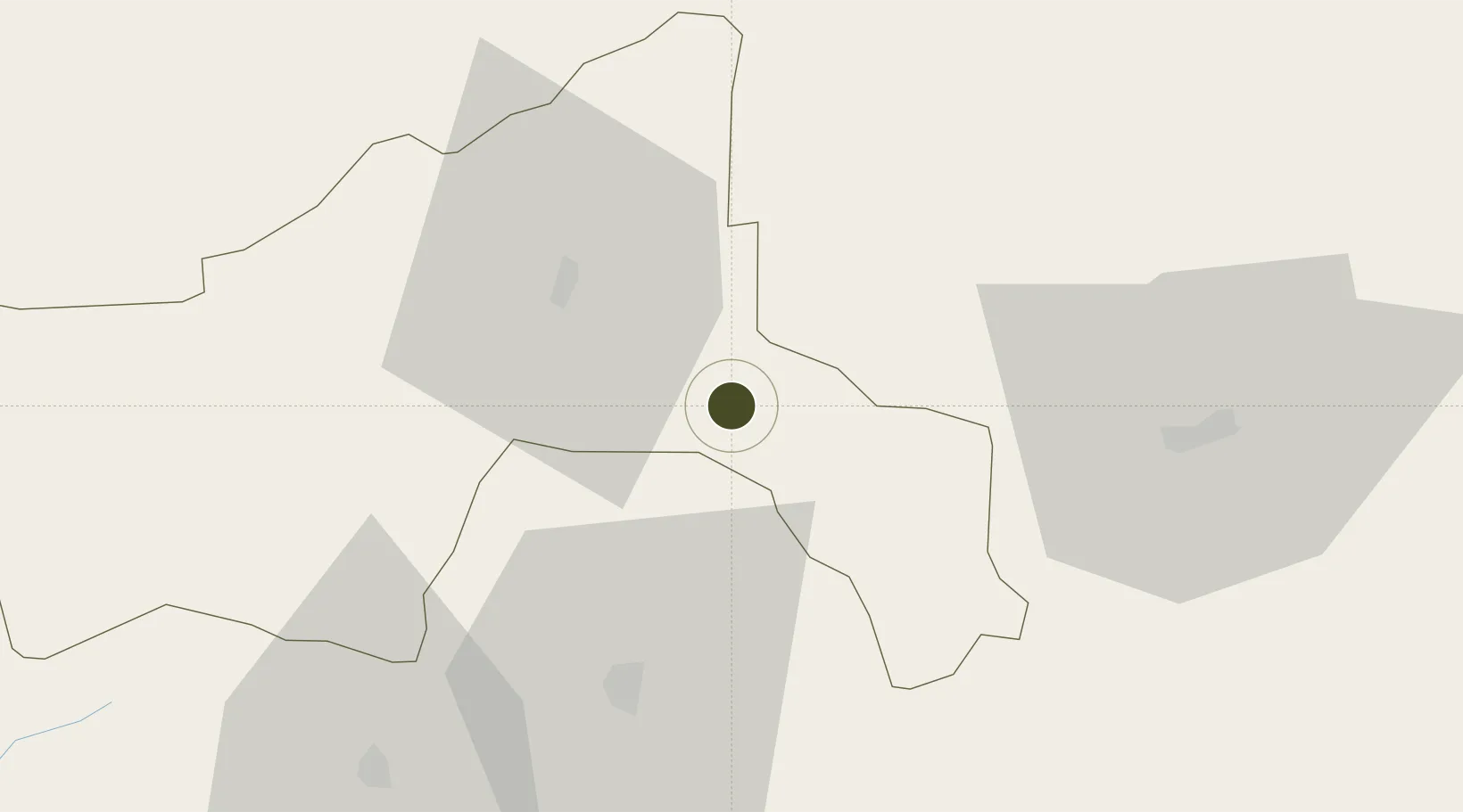
34.9362°, 69.2506°
1,145.5 km
Nearest port
1.7 km
Nearest airport

Gateway access

Nearest neighbours — logibook spatial index (haversine) over the source coordinates

Zone profile

Zone type
Diversified Zone
Open Zone Map
Region
Parwan
Open Zone Map
Status
Under Development
Open Zone Map
Management
Public
Open Zone Map
Operator
Afghanistan Airfield Economic Development Commission (AAEDC)
Open Zone Map
Legal framework
Presidential Decree # July 2015, Afghanistan Customs Law 2005.
Open Zone Map

Location

Location of ozm-5
Natural Earth 10m (public domain) · Parwan · ozm-5 · 34.94, 69.25GoogleOSMYandex

Nearby Logistics Neighbours

Ports
  1. 1Muhamamad Bin Qasim1146 km
  2. 2Karachi1150 km
  3. 3Gwadar1278 km
  4. 4Kandla1327 km
  5. 5Navlakhi1337 km
Nearest neighbours — logibook spatial index (haversine) over the source coordinates
Airports
  1. 1Bagram Airfield2 km
  2. 2Kabul International Airport41 km
  3. 3Jalalabad Airport129 km
  4. 4Salerno South Airport190 km
  5. 5Khost International Airport191 km
Nearest neighbours — logibook spatial index (haversine) over the source coordinates
Cities
  1. 1Sharona192 km
  2. 2Qasim208 km
  3. 3Hayatabad235 km
  4. 4Torkham243 km
  5. 5Shaartuz276 km
Nearest neighbours — logibook spatial index (haversine) over the source coordinates
Trade Zones
  1. 1Kabul Special Economic Zone41 km
  2. 2Nangarhar Special Economic Zone128 km
  3. 3Jalalabad Special Economic Zone128 km
  4. 4Gardez Special Economic Zone146 km
  5. 5Kunduz Special Economic Zone195 km
Nearest neighbours — logibook spatial index (haversine) over the source coordinates
DatabookThe Record of Consolidated Knowledge
Afghanistan beyond logistics?
Browse databook

All Sources

Trade ZonesOpen Zone Map
CC BY
Portsthe NGA World Port Index
Public domain (US gov)
AirportsOurAirports
Public domain
LocationsUN/LOCODE
UN/LOCODE — free
← Afghanistan trade zones