Diversified Zone · China

Yiyang County Industrial Cluster Active
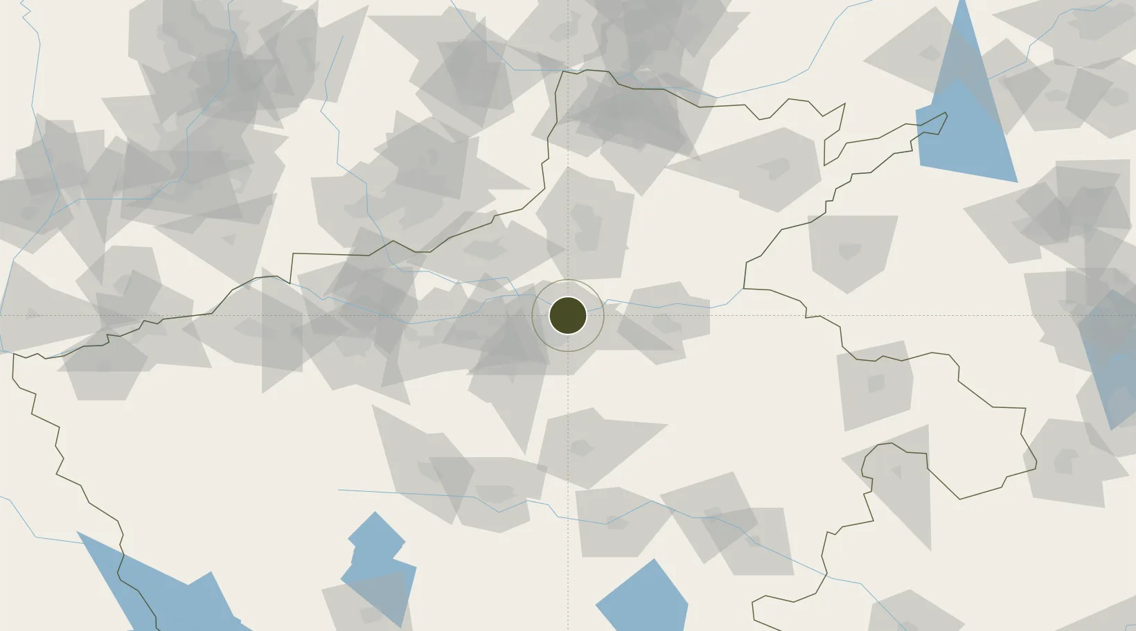
34.8503°, 113.7520°
1,195 ha
Zone area
477.1 km
Nearest port
2.4 km
Nearest airport

Gateway access

Nearest neighbours — logibook spatial index (haversine) over the source coordinates

Zone profile

Zone type
Diversified Zone
Open Zone Map
Region
Henan
Open Zone Map
Status
Active
Open Zone Map
Management
Public
Open Zone Map
Operator
Yiyang County Industrial Cluster Management Committee
Open Zone Map
Legal framework
It was established in March 2006
Open Zone Map

Location

Location of ozm-720
Natural Earth 10m (public domain) · Henan · ozm-720 · 34.85, 113.75GoogleOSMYandex

Nearby Logistics Neighbours

Ports
  1. 1Hankow477 km
  2. 2Lanshan512 km
  3. 3Lianyungang520 km
  4. 4Rizhao532 km
  5. 5Nanjing556 km
Nearest neighbours — logibook spatial index (haversine) over the source coordinates
Airports
  1. 1Zhengzhou Air Base2 km
  2. 2Zhengzhou Xinzheng International Airport37 km
  3. 3Kaifeng Air Base55 km
  4. 4Luoyang Beijiao Airport125 km
  5. 5Anyang Hongqiqu Airport131 km
Nearest neighbours — logibook spatial index (haversine) over the source coordinates
Cities
  1. 1Zhengzhoudong Railway Station11 km
  2. 2Zhengzhou12 km
  3. 3Dazhaoying46 km
  4. 4Xinxiang51 km
  5. 5Kaifeng54 km
Nearest neighbours — logibook spatial index (haversine) over the source coordinates
Trade Zones
  1. 1Huiji Economic Development Zone8 km
  2. 2Jinshui High-tech Industrial Development Zone11 km
  3. 3Baofeng High-tech Industrial Development Zone11 km
  4. 4Jiulong Industrial Park21 km
  5. 5Mazhai Industrial Cluster25 km
Nearest neighbours — logibook spatial index (haversine) over the source coordinates
DatabookThe Record of Consolidated Knowledge
China beyond logistics?
Browse databook

All Sources

Trade ZonesOpen Zone Map
CC BY
Portsthe NGA World Port Index
Public domain (US gov)
AirportsOurAirports
Public domain
LocationsUN/LOCODE
UN/LOCODE — free
← China trade zones