Export Processing Zone · China

Mazhai Industrial Cluster Active
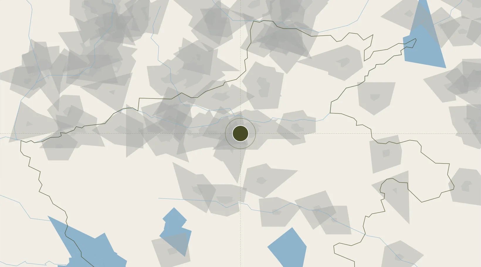
34.7185°, 113.5305°
1,180 ha
Zone area
465.2 km
Nearest port
24.1 km
Nearest airport

Gateway access

Nearest neighbours — logibook spatial index (haversine) over the source coordinates

Zone profile

Zone type
Export Processing Zone
Open Zone Map
Region
Henan
Open Zone Map
Status
Active
Open Zone Map
Management
Public
Open Zone Map
Operator
Zhengzhou Mazhai Industrial Cluster Management Committee
Open Zone Map
Legal framework
Unavailable
Open Zone Map

Location

Location of ozm-1279
Natural Earth 10m (public domain) · Henan · ozm-1279 · 34.72, 113.53GoogleOSMYandex

Nearby Logistics Neighbours

Ports
  1. 1Hankow465 km
  2. 2Lanshan534 km
  3. 3Lianyungang541 km
  4. 4Rizhao554 km
  5. 5Nanjing566 km
Nearest neighbours — logibook spatial index (haversine) over the source coordinates
Airports
  1. 1Zhengzhou Air Base24 km
  2. 2Zhengzhou Xinzheng International Airport36 km
  3. 3Kaifeng Air Base74 km
  4. 4Luoyang Beijiao Airport104 km
  5. 5Luyang Air Base129 km
Nearest neighbours — logibook spatial index (haversine) over the source coordinates
Cities
  1. 1Zhengzhou14 km
  2. 2Zhengzhoudong Railway Station22 km
  3. 3Dazhaoying65 km
  4. 4Jiaozuo69 km
  5. 5Xinxiang72 km
Nearest neighbours — logibook spatial index (haversine) over the source coordinates
Trade Zones
  1. 1Jinshui High-tech Industrial Development Zone14 km
  2. 2Huiji Economic Development Zone22 km
  3. 3Baofeng High-tech Industrial Development Zone24 km
  4. 4Yiyang County Industrial Cluster25 km
  5. 5Jiulong Industrial Park30 km
Nearest neighbours — logibook spatial index (haversine) over the source coordinates
DatabookThe Record of Consolidated Knowledge
China beyond logistics?
Browse databook

All Sources

Trade ZonesOpen Zone Map
CC BY
Portsthe NGA World Port Index
Public domain (US gov)
AirportsOurAirports
Public domain
LocationsUN/LOCODE
UN/LOCODE — free
← China trade zones