Diversified Zone · China

Bengbu Industrial Park Active
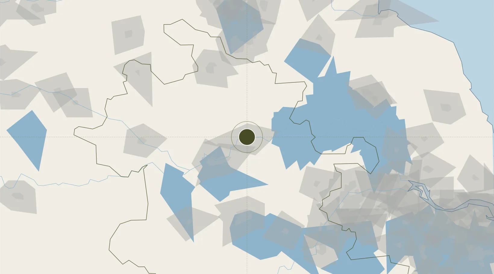
32.9701°, 117.3297°
300 ha
Zone area
165.7 km
Nearest port
13.6 km
Nearest airport

Gateway access

Nearest neighbours — logibook spatial index (haversine) over the source coordinates

Zone profile

Zone type
Diversified Zone
Open Zone Map
Region
Anhui
Open Zone Map
Status
Active
Open Zone Map
Management
Public
Open Zone Map
Operator
Working Committee of Bengbu Industrial Park
Open Zone Map
Legal framework
Overall plan for the China (Anhui) Pilot Free Trade Zone
Open Zone Map

Location

Location of ozm-418
Natural Earth 10m (public domain) · Anhui · ozm-418 · 32.97, 117.33GoogleOSMYandex

Nearby Logistics Neighbours

Ports
  1. 1Nanjing166 km
  2. 2Yangzhou212 km
  3. 3Zhenjiang214 km
  4. 4Gaogang248 km
  5. 5Changzhou273 km
Nearest neighbours — logibook spatial index (haversine) over the source coordinates
Airports
  1. 1Bengbu Tenghu Airport14 km
  2. 2Bengbu Tenghu Airport33 km
  3. 3Hefei Xinqiao International Airport114 km
  4. 4Feidong Air Base122 km
  5. 5Xuzhou Guanyin International Airport123 km
Nearest neighbours — logibook spatial index (haversine) over the source coordinates
Cities
  1. 1Bengbu8 km
  2. 2Mengcheng80 km
  3. 3Zhaogang80 km
  4. 4Chuzhou118 km
  5. 5Hefei123 km
Nearest neighbours — logibook spatial index (haversine) over the source coordinates
Trade Zones
  1. 1Huaiyuan Economic Development Zone5 km
  2. 2Fengyang Industrial Park19 km
  3. 3Dingyuan Salt Chemical Industrial Park44 km
  4. 4Huainan Modern Coal Chemical Industry Park51 km
  5. 5Wuhe Economic Development Zone54 km
Nearest neighbours — logibook spatial index (haversine) over the source coordinates
DatabookThe Record of Consolidated Knowledge
China beyond logistics?
Browse databook

All Sources

Trade ZonesOpen Zone Map
CC BY
Portsthe NGA World Port Index
Public domain (US gov)
AirportsOurAirports
Public domain
LocationsUN/LOCODE
UN/LOCODE — free
← China trade zones