Export Processing Zone · China

Fengyang Industrial Park Active
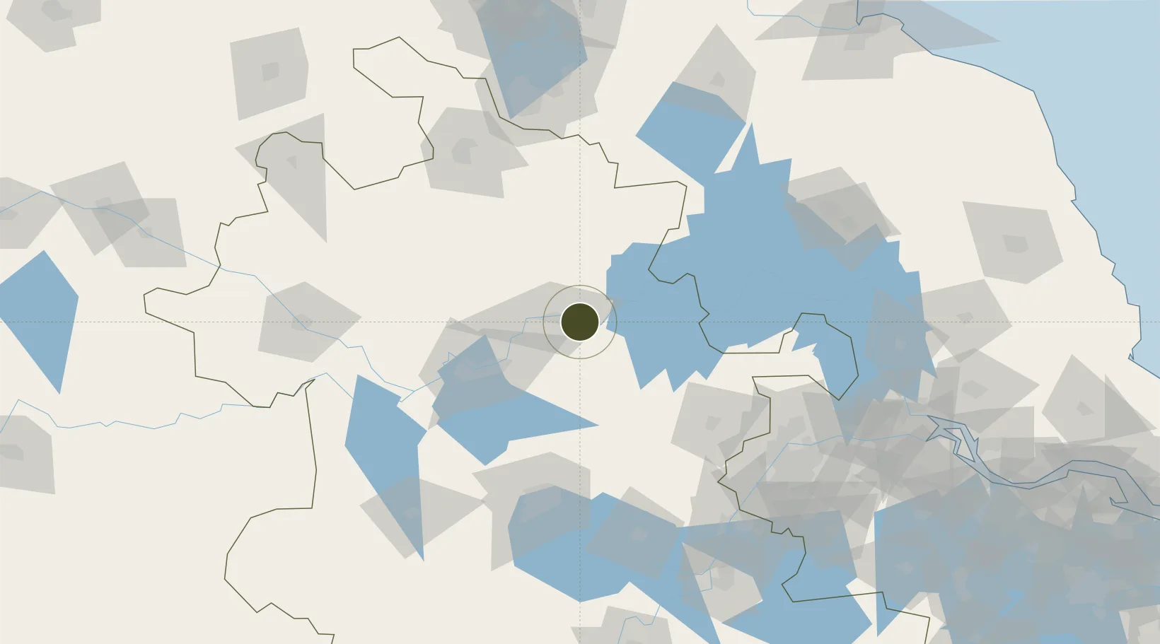
32.9183°, 117.5189°
1,260 ha
Zone area
148.1 km
Nearest port
20.1 km
Nearest airport

Gateway access

Nearest neighbours — logibook spatial index (haversine) over the source coordinates

Zone profile

Zone type
Export Processing Zone
Open Zone Map
Region
Anhui
Open Zone Map
Status
Active
Open Zone Map
Management
Public
Open Zone Map
Operator
Fengyang County Industrial Park Management Committee, Anhui Province
Open Zone Map
Legal framework
Unavailable
Open Zone Map

Location

Location of ozm-1293
Natural Earth 10m (public domain) · Anhui · ozm-1293 · 32.92, 117.52GoogleOSMYandex

Nearby Logistics Neighbours

Ports
  1. 1Nanjing148 km
  2. 2Yangzhou193 km
  3. 3Zhenjiang196 km
  4. 4Gaogang230 km
  5. 5Changzhou254 km
Nearest neighbours — logibook spatial index (haversine) over the source coordinates
Airports
  1. 1Bengbu Tenghu Airport20 km
  2. 2Bengbu Tenghu Airport51 km
  3. 3Feidong Air Base113 km
  4. 4Hefei Xinqiao International Airport115 km
  5. 5Xuzhou Guanyin International Airport127 km
Nearest neighbours — logibook spatial index (haversine) over the source coordinates
Cities
  1. 1Bengbu13 km
  2. 2Zhaogang92 km
  3. 3Mengcheng98 km
  4. 4Chuzhou101 km
  5. 5Quanjiao111 km
Nearest neighbours — logibook spatial index (haversine) over the source coordinates
Trade Zones
  1. 1Bengbu Industrial Park19 km
  2. 2Huaiyuan Economic Development Zone23 km
  3. 3Wuhe Economic Development Zone41 km
  4. 4Dingyuan Salt Chemical Industrial Park44 km
  5. 5Mingguang Economic Development Zone49 km
Nearest neighbours — logibook spatial index (haversine) over the source coordinates
DatabookThe Record of Consolidated Knowledge
China beyond logistics?
Browse databook

All Sources

Trade ZonesOpen Zone Map
CC BY
Portsthe NGA World Port Index
Public domain (US gov)
AirportsOurAirports
Public domain
LocationsUN/LOCODE
UN/LOCODE — free
← China trade zones