Diversified Zone · China

Xinhuang Industrial Concentration Zone Active
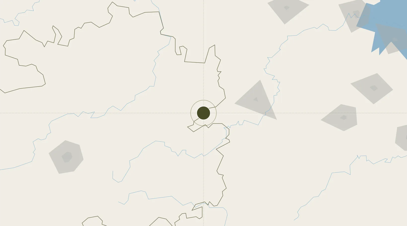
27.3334°, 109.0643°
921 ha
Zone area
623.1 km
Nearest port
64.4 km
Nearest airport

Gateway access

Nearest neighbours — logibook spatial index (haversine) over the source coordinates

Zone profile

Zone type
Diversified Zone
Open Zone Map
Region
Guizhou
Open Zone Map
Status
Active
Open Zone Map
Management
Public
Open Zone Map
Operator
Management Committee of Xinhuang Industrial Concentration Zone
Open Zone Map
Legal framework
It began construction in September 2008
Open Zone Map

Location

Location of ozm-653
Natural Earth 10m (public domain) · Guizhou · ozm-653 · 27.33, 109.06GoogleOSMYandex

Nearby Logistics Neighbours

Ports
  1. 1Hankow623 km
  2. 2Qinzhou625 km
  3. 3Fang-Cheng625 km
  4. 4Guangzhou629 km
  5. 5Huangpu644 km
Nearest neighbours — logibook spatial index (haversine) over the source coordinates
Airports
  1. 1Huaihua Zhijiang Airport64 km
  2. 2Tongren Fenghuang Airport66 km
  3. 3Liping Airport113 km
  4. 4Kaili Huangping Airport114 km
  5. 5Tongren Dejiang Airport (Under Construction)125 km
Nearest neighbours — logibook spatial index (haversine) over the source coordinates
Cities
  1. 1Tongren44 km
  2. 2Huaihua98 km
  3. 3Jiangsi104 km
  4. 4Defeng124 km
  5. 5Jishou127 km
Nearest neighbours — logibook spatial index (haversine) over the source coordinates
DatabookThe Record of Consolidated Knowledge
China beyond logistics?
Browse databook

All Sources

Trade ZonesOpen Zone Map
CC BY
Portsthe NGA World Port Index
Public domain (US gov)
AirportsOurAirports
Public domain
LocationsUN/LOCODE
UN/LOCODE — free
← China trade zones