Transport Functions
Multimodal
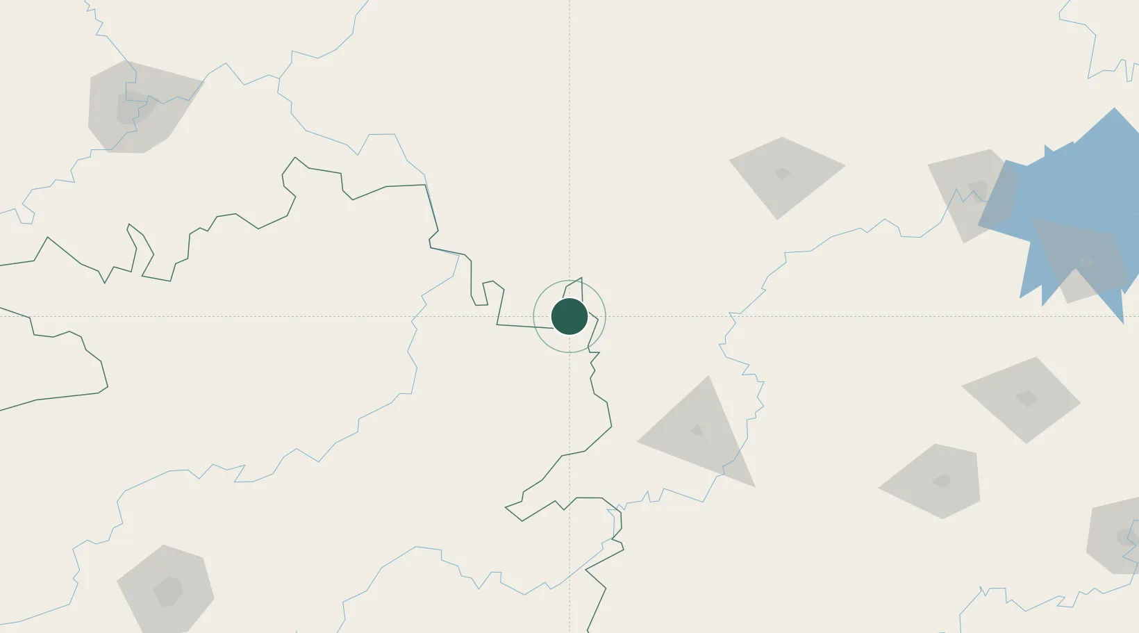
Hub Profile
Place type
Populated place
Region
Guizhou
Time zone
Asia/Shanghai
Elevation
537 m
Location
Nearby Logistics Neighbours
Cities
- 1Jishou53 km
- 2Tongren61 km
- 3Huaihua113 km
- 4Zhangjiajie153 km
- 5Kaili222 km
Ports
- 1Hankow557 km
- 2Guangzhou702 km
- 3Huangpu716 km
- 4Huangpuxingang724 km
- 5Qinzhou729 km
Airports
Trade Zones
DatabookThe Record of Consolidated Knowledge
China beyond logistics?