Free Trade Zone · China

Huaihua Economic Development Zone Active
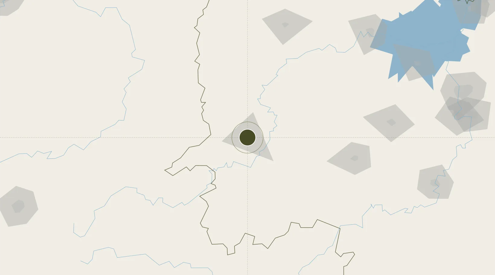
27.5494°, 109.9598°
8,215 ha
Zone area
538.8 km
Nearest port
27.8 km
Nearest airport

Gateway access

Nearest neighbours — logibook spatial index (haversine) over the source coordinates

Zone profile

Zone type
Free Trade Zone
Open Zone Map
Region
Hunan
Open Zone Map
Status
Active
Open Zone Map
Management
Public
Open Zone Map
Operator
Huaihua Economic Development ZoneManagement Committee
Open Zone Map
Legal framework
Hunan Provincial Development Zone (formerly Hexi New District, Huaihua city)
Open Zone Map

Location

Location of ozm-1574
Natural Earth 10m (public domain) · Hunan · ozm-1574 · 27.55, 109.96GoogleOSMYandex

Nearby Logistics Neighbours

Ports
  1. 1Hankow539 km
  2. 2Guangzhou593 km
  3. 3Huangpu606 km
  4. 4Huangpuxingang614 km
  5. 5Qinzhou662 km
Nearest neighbours — logibook spatial index (haversine) over the source coordinates
Airports
  1. 1Huaihua Zhijiang Airport28 km
  2. 2Tongren Fenghuang Airport74 km
  3. 3Shaoyang Wugang Airport107 km
  4. 4Xiangxi Biancheng Airport114 km
  5. 5Liping Airport158 km
Nearest neighbours — logibook spatial index (haversine) over the source coordinates
Cities
  1. 1Huaihua6 km
  2. 2Tongren79 km
  3. 3Jishou89 km
  4. 4Jiangsi110 km
  5. 5Defeng170 km
Nearest neighbours — logibook spatial index (haversine) over the source coordinates
DatabookThe Record of Consolidated Knowledge
China beyond logistics?
Browse databook

All Sources

Trade ZonesOpen Zone Map
CC BY
Portsthe NGA World Port Index
Public domain (US gov)
AirportsOurAirports
Public domain
LocationsUN/LOCODE
UN/LOCODE — free
← China trade zones