Diversified Zone · China

Mayang Industrial Concentration Zone Active
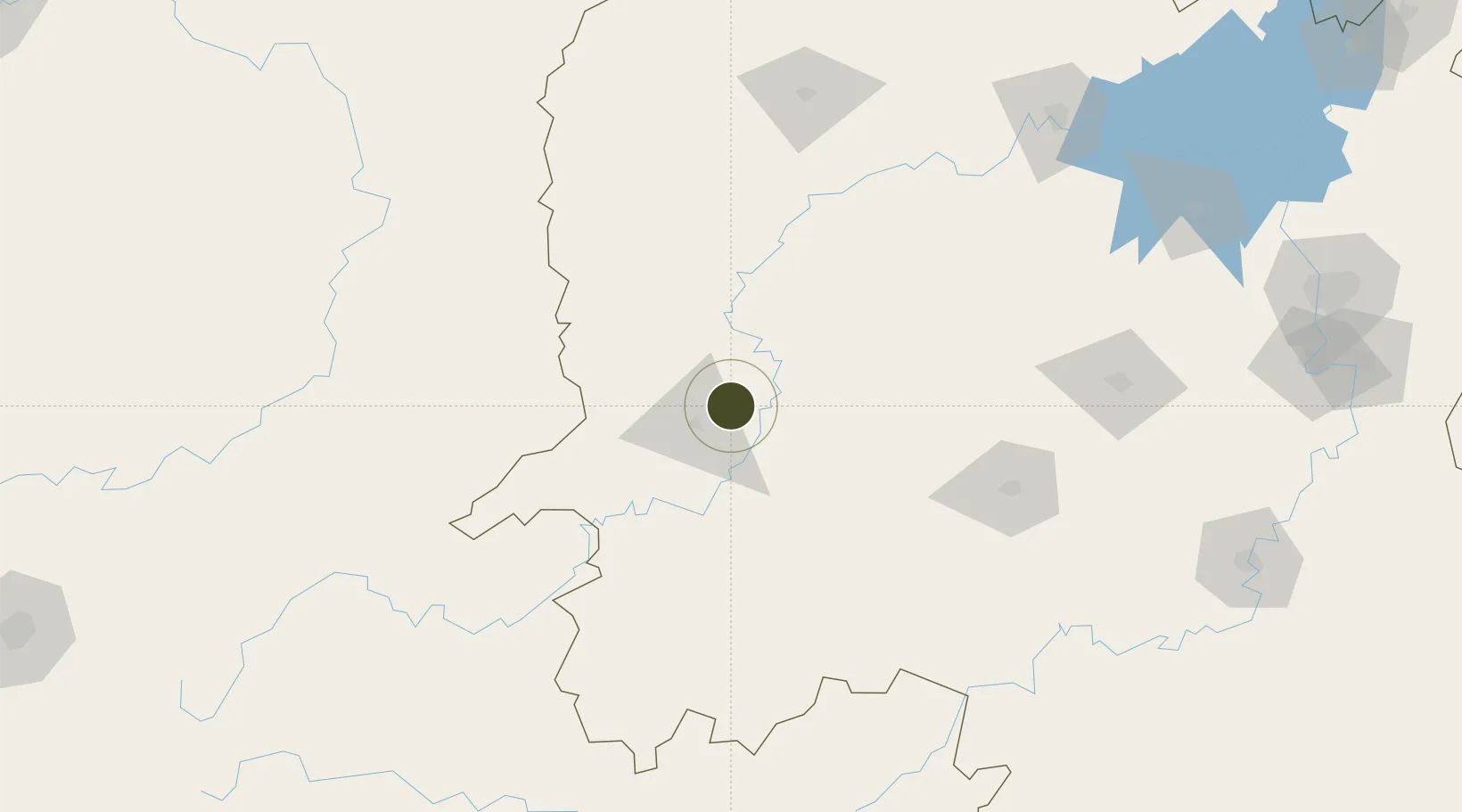
27.6497°, 110.1360°
242 ha
Zone area
518.3 km
Nearest port
48.3 km
Nearest airport

Gateway access

Nearest neighbours — logibook spatial index (haversine) over the source coordinates

Zone profile

Zone type
Diversified Zone
Open Zone Map
Region
Hunan
Open Zone Map
Status
Active
Open Zone Map
Management
Public
Open Zone Map
Operator
Mayang Industrial Concentration Zone Management Committee
Open Zone Map
Legal framework
At the end of 2013, it was approved as a provincial-level industrial concentration area
Open Zone Map

Location

Location of ozm-388
Natural Earth 10m (public domain) · Hunan · ozm-388 · 27.65, 110.14GoogleOSMYandex

Nearby Logistics Neighbours

Ports
  1. 1Hankow518 km
  2. 2Guangzhou592 km
  3. 3Huangpu605 km
  4. 4Huangpuxingang613 km
  5. 5Qinzhou676 km
Nearest neighbours — logibook spatial index (haversine) over the source coordinates
Airports
  1. 1Huaihua Zhijiang Airport48 km
  2. 2Tongren Fenghuang Airport85 km
  3. 3Shaoyang Wugang Airport106 km
  4. 4Xiangxi Biancheng Airport112 km
  5. 5Shaodong Airport159 km
Nearest neighbours — logibook spatial index (haversine) over the source coordinates
Cities
  1. 1Huaihua15 km
  2. 2Jishou85 km
  3. 3Tongren94 km
  4. 4Jiangsi116 km
  5. 5Zhangjiajie164 km
Nearest neighbours — logibook spatial index (haversine) over the source coordinates
Trade Zones
  1. 1Huaihua Economic Development Zone21 km
  2. 2Huaihua High-tech Industrial Development Zone22 km
  3. 3Shaoyang Economic Development Zone60 km
  4. 4Hongjiang Industrial Concentration Zone64 km
  5. 5Shaodong Economic Development Zone75 km
Nearest neighbours — logibook spatial index (haversine) over the source coordinates
DatabookThe Record of Consolidated Knowledge
China beyond logistics?
Browse databook

All Sources

Trade ZonesOpen Zone Map
CC BY
Portsthe NGA World Port Index
Public domain (US gov)
AirportsOurAirports
Public domain
LocationsUN/LOCODE
UN/LOCODE — free
← China trade zones