Medium airport · China
Tongren Fenghuang AirportZUTR
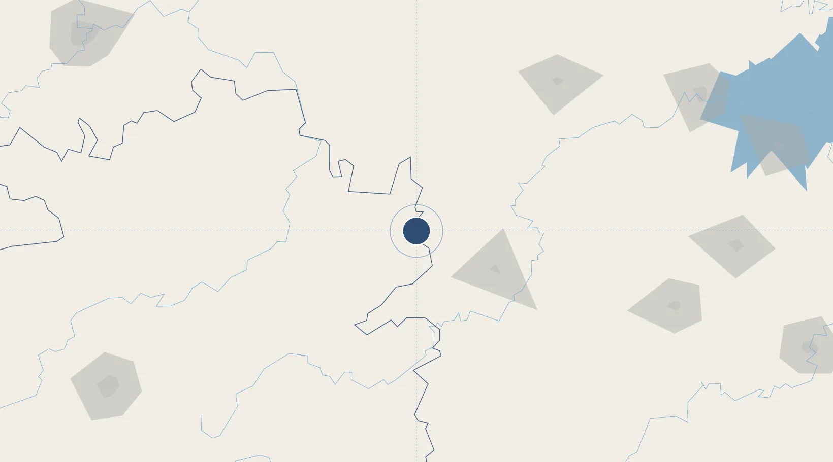
27.8833°, 109.3089°
9,022 ft
Longest runway
1
Runways
Runway & Layout

Runways · 1
| Runway | Dimensions | Surface | True heading | Lit |
|---|---|---|---|---|
| 04/22 | 9,022 × —ft | Asphalt | — | — |
Airport Specifications
IATA code
TEN
ICAO code
ZUTR
Airport class
Medium airport
Scheduled service
Yes
Runway surface
Asphalt
Served city
Tongren (Daxing)
Location
Nearby Logistics Neighbours
Airports
- 1Huaihua Zhijiang Airport63 km
- 2Xiangxi Biancheng Airport71 km
- 3Tongren Dejiang Airport (Under Construction)116 km
- 4Kaili Huangping Airport165 km
- 5Liping Airport174 km
Cities
- 1Tongren22 km
- 2Jiangsi44 km
- 3Jishou63 km
- 4Huaihua78 km
- 5Zhangjiajie174 km
Ports
- 1Hankow568 km
- 2Guangzhou660 km
- 3Huangpu674 km
- 4Huangpuxingang682 km
- 5Qinzhou688 km
DatabookThe Record of Consolidated Knowledge
China beyond logistics?