Medium airport · China

Kaili Huangping AirportZUKJ
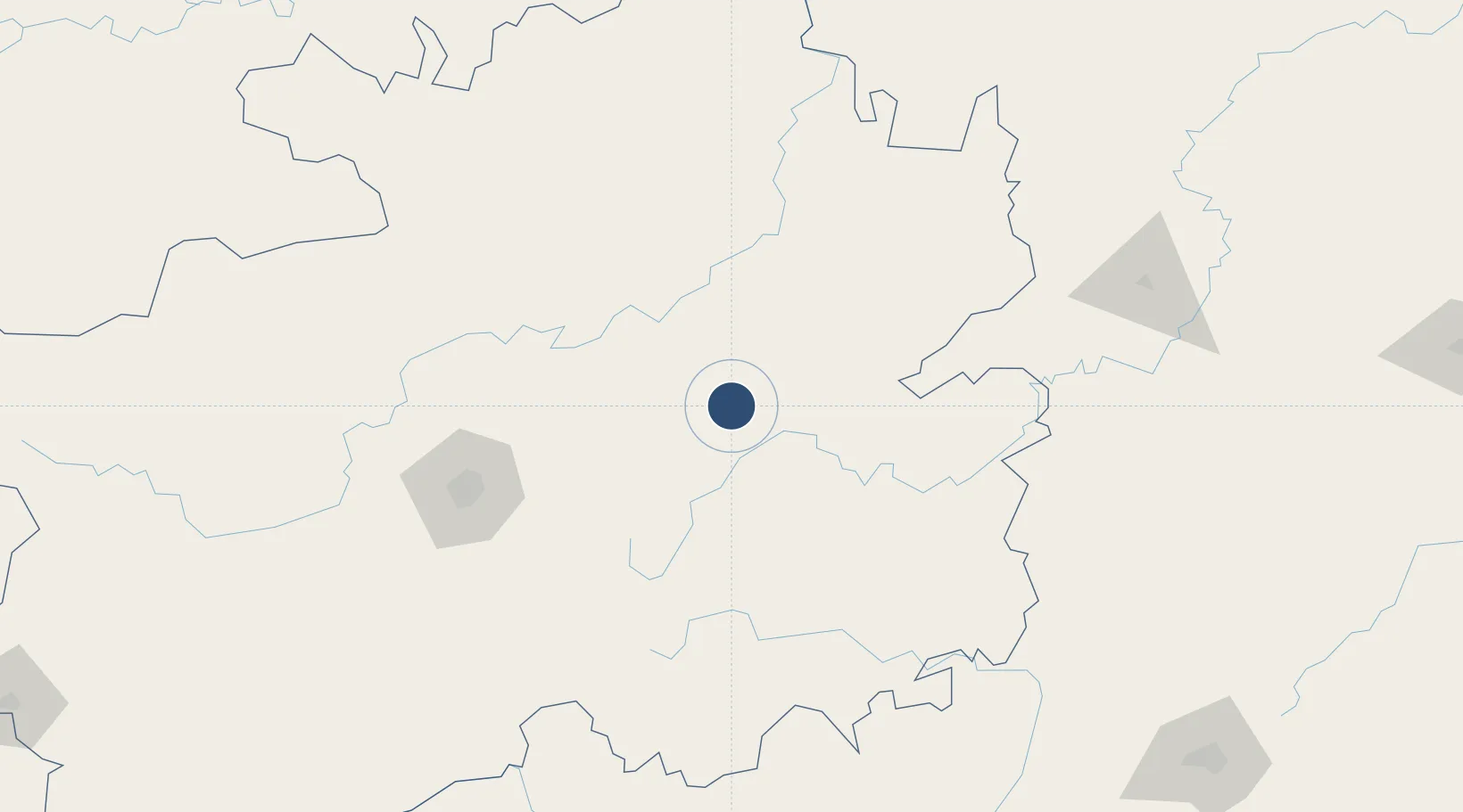
26.9720°, 107.9880°
8,530 ft
Longest runway
1
Runways
3,115 ft
Elevation

Runway & Layout

Kaili Huangping Airport runway & taxiway layout
Runway & taxiway layout — OpenStreetMap (ODbL) / OurAirports

Runways · 1

RunwayDimensions SurfaceTrue headingLit
04/22 8,530 × —ft
OurAirports

Airport Specifications

IATA code
KJH
OurAirports
ICAO code
ZUKJ
OurAirports
Airport class
Medium airport
OurAirports
Scheduled service
Yes
OurAirports
Served city
Kaili (Huangping)
OurAirports

Location

Location of ZUKJ
Natural Earth 10m (public domain) · Guizhou · ZUKJ · 26.97, 107.99GoogleOSMYandex

Nearby Logistics Neighbours

Airports
  1. 1Jiuzhou Airport23 km
  2. 2Zunyi Xinzhou Airport119 km
  3. 3Guiyang Longdongbao International Airport127 km
  4. 4Tongren Dejiang Airport (Under Construction)129 km
  5. 5Liping Airport136 km
Nearest neighbours — logibook spatial index (haversine) over the source coordinates
Cities
  1. 1Kaili43 km
  2. 2Zunyi133 km
  3. 3Guiyang135 km
  4. 4Defeng140 km
  5. 5Tongren144 km
Nearest neighbours — logibook spatial index (haversine) over the source coordinates
Ports
  1. 1Fang-Cheng582 km
  2. 2Qinzhou586 km
  3. 3Beihai620 km
  4. 4Cam Pha663 km
  5. 5Hon Gai676 km
Nearest neighbours — logibook spatial index (haversine) over the source coordinates
Trade Zones
  1. 1Xinhuang Industrial Concentration Zone114 km
  2. 2Huitong Industrial Concentration Zone121 km
  3. 3Weicheng Economic Development Zone137 km
  4. 4Weiyuan County Industrial Concentration Zone182 km
  5. 5Xiushan Industrial Park193 km
Nearest neighbours — logibook spatial index (haversine) over the source coordinates
DatabookThe Record of Consolidated Knowledge
China beyond logistics?
Browse databook

All Sources

AirportsOurAirports
Public domain
Portsthe NGA World Port Index
Public domain (US gov)
LocationsUN/LOCODE
UN/LOCODE — free
Trade Zonesthe World Bank SEZ database
CC BY 4.0
Trade ZonesOpen Zone Map
CC BY
InfrastructureOpenStreetMap
ODbL 1.0
← China airports