Transport Functions
Multimodal
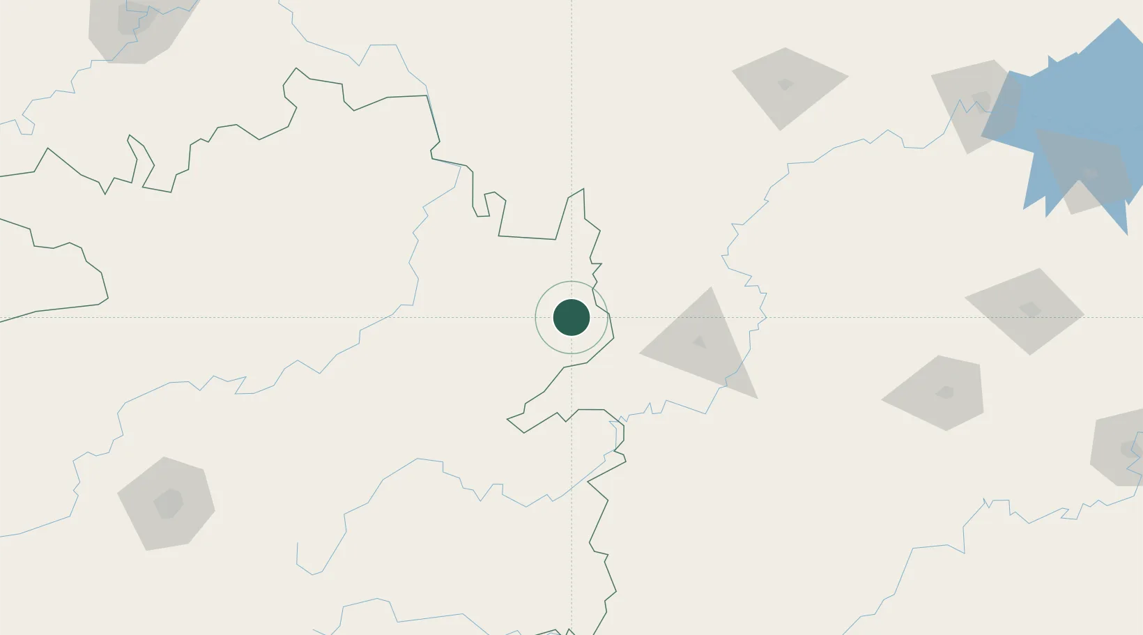
Hub Profile
Place type
Provincial seat
Region
Guizhou
Population
90,593
Time zone
Asia/Shanghai
Elevation
263 m
Location
Nearby Logistics Neighbours
Ports
- 1Hankow589 km
- 2Guangzhou653 km
- 3Huangpu668 km
- 4Qinzhou668 km
- 5Fang-Cheng669 km
Airports
DatabookThe Record of Consolidated Knowledge
China beyond logistics?