Transport Functions
Rail
Road
Airport
Multimodal
Hub Profile
Place type
Provincial seat
Region
Hunan
Population
552,622
Time zone
Asia/Shanghai
Elevation
236 m
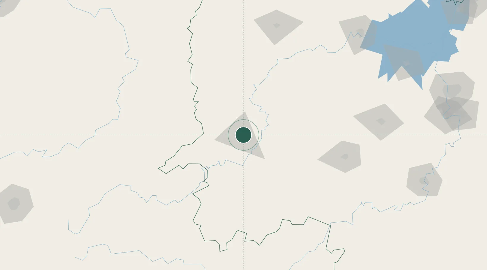
Location
Nearby Logistics Neighbours
Cities
- 1Tongren84 km
- 2Jishou88 km
- 3Jiangsi113 km
- 4Defeng175 km
- 5Zhangjiajie175 km
Ports
- 1Hankow533 km
- 2Guangzhou591 km
- 3Huangpu604 km
- 4Huangpuxingang612 km
- 5Qinzhou665 km
Airports
- 1Huaihua Zhijiang Airport34 km
- 2Tongren Fenghuang Airport78 km
- 3Shaoyang Wugang Airport105 km
- 4Xiangxi Biancheng Airport114 km
- 5Liping Airport163 km
DatabookThe Record of Consolidated Knowledge
China beyond logistics?